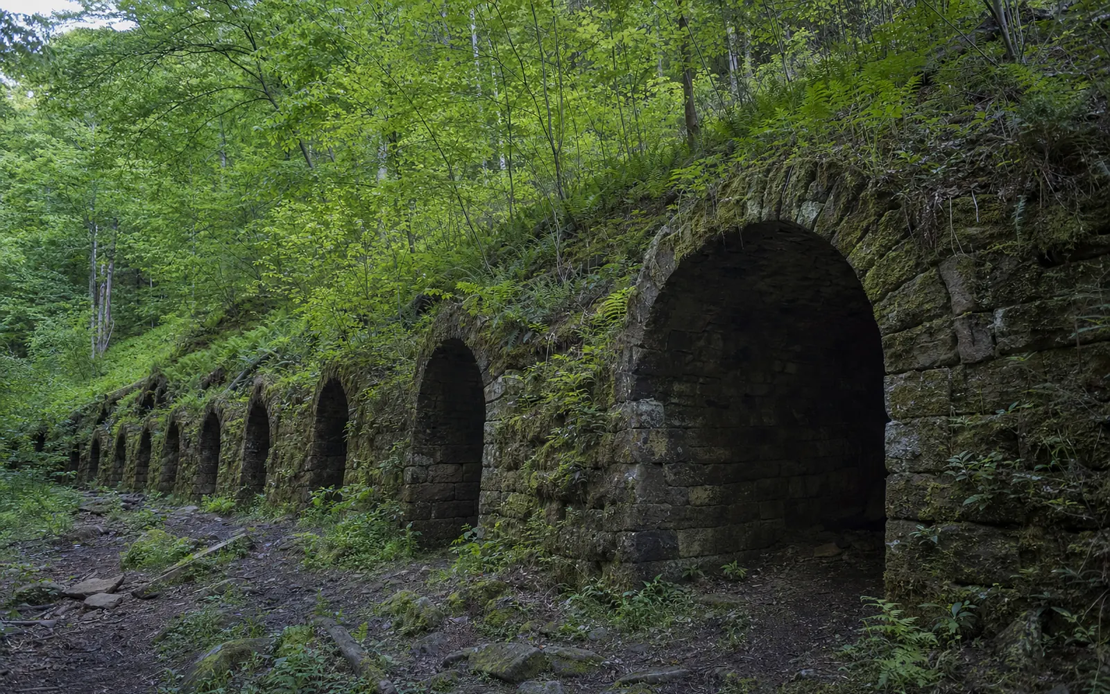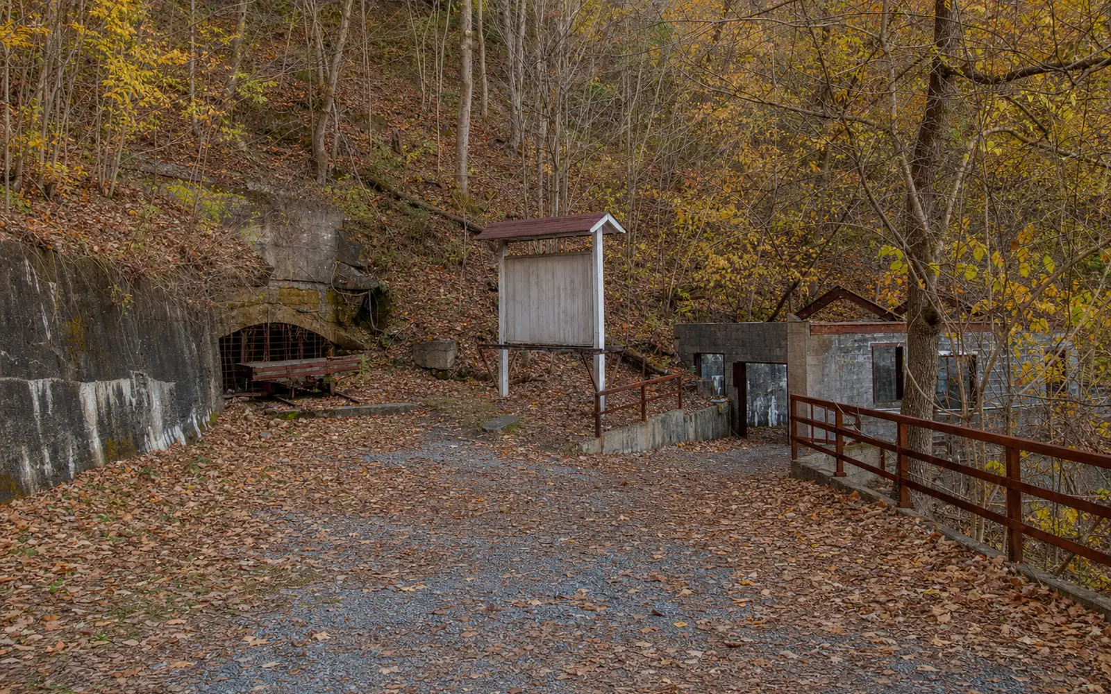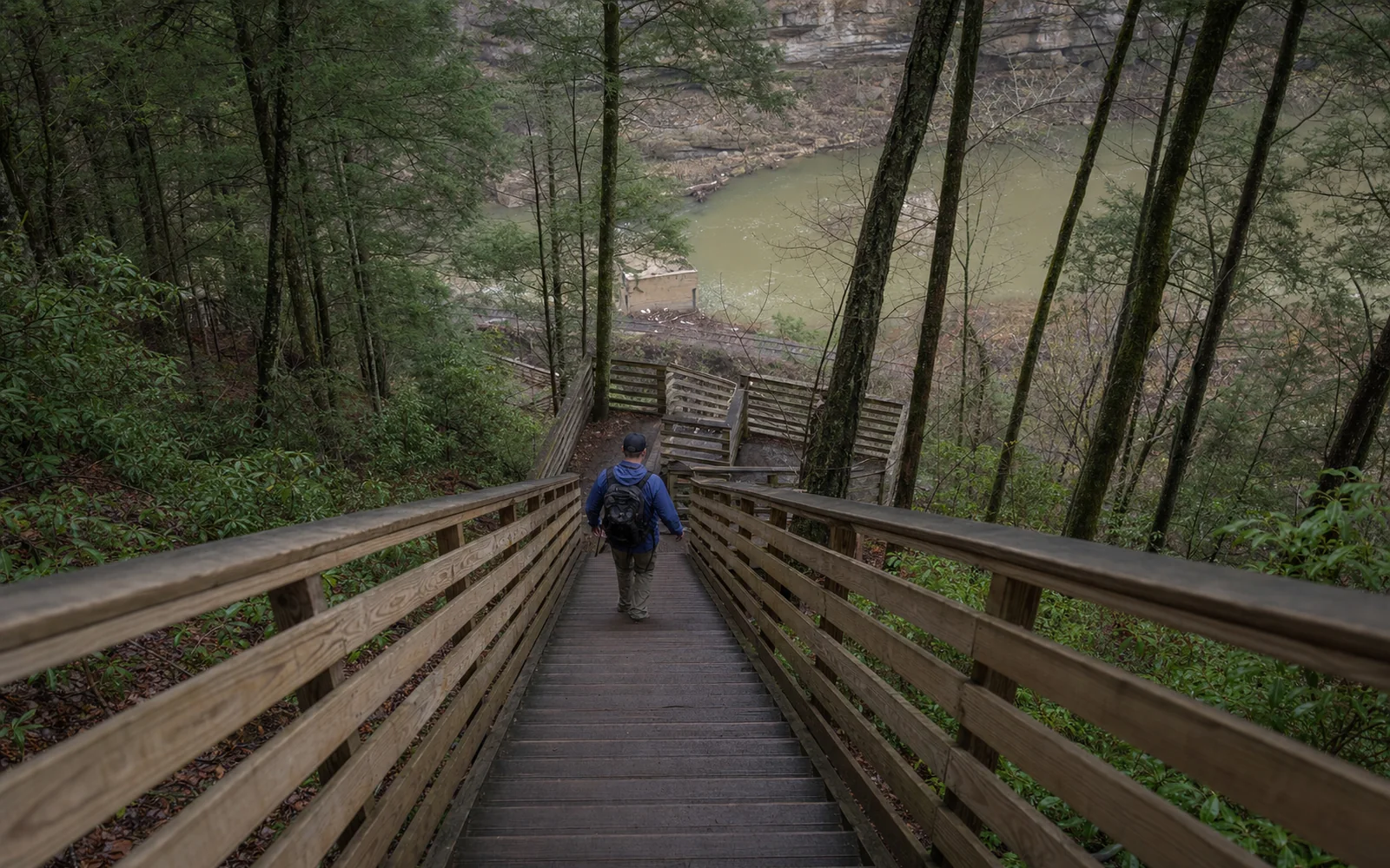
The Kaymoor Miners Trail is a staircase into history: one steep mile and 900 feet down the gorge wall, the second half on 821 wooden steps, to the brick coke ovens and processing plant ruins of a coal operation that ran here for 62 years. It's free, hiking-only and rated strenuous, mostly because of the climb back up. Plan around one thing this fall: through November 19, 2026, the upper section is closed Monday through Thursday for trail work and open Friday through Sunday.
How to get to Kaymoor Top
From US 19, follow WV 16 south through Fayetteville and turn left on Gatewood Road at the park signs for Kaymoor and Cunard. Go 2.0 miles, turn left at the Kaymoor sign onto Kaymoor No. 1 Road and follow it about a mile to a T. Turn left, and the lot is 50 yards along on the right. It's small, it has a vault toilet, and there's no room for RVs; WV Explorer notes it was resurfaced in July 2022.
The simplest fix is to come Friday through Sunday. If the trail's own page shows slightly different dates, it's an older page; the park's 2026 alert and closures page both say June 15 to November 19.
Only have a weekday? You can still reach the steps and the mine, just the long way. The park names the Kaymoor Trail and the Craig Branch Trail as alternate routes, as WOAY reported when the closure was announced. Craig Branch is the dependable one: it starts 0.25 mile down the right-hand branch of the same T on Kaymoor No. 1 Road and runs 2.4 miles one way to the Kaymoor Trail and the mine. The Kaymoor Trail's far end is the Wolf Creek trailhead on Fayette Station Road, which the park closed after the August 15 and 16 floods, so check the closures page before counting on it.
What you'll see on the way down
| From the top | What's there |
|---|---|
| 0.2 mile | A view of the gorge, off to the right, before the stairs |
| 0.5 mile | The Kaymoor mine site, where the trail crosses the Kaymoor Trail; the end of the section closed Monday to Thursday |
| 0.5 to 1.0 mile | The stair of 821 wooden steps |
| 1.0 mile | The processing plant ruins, coke ovens and town site near river level |
The first half mile drops hard through rocky stairs and switchbacks to the old mine site. Then come the famous wooden steps, first built in 1994 and given their biggest rebuild in September 2023, according to a Park Service release. At the bottom you're among the brick coke ovens and the concrete and steel bones of the processing plant, with the town site close by. You won't reach the river, though: the railroad along the water is an active line on private property, and the park asks you not to walk on or cross the tracks.
The story of Kaymoor
The Low Moor Iron Company opened Kaymoor in 1899 and, according to e-WV, named it for its first superintendent, James Kay. Kaymoor One sent 16.9 million tons of coal out of this hillside before the seam gave out and the mine closed in 1962, as the park's Kaymoor history tells it. Please look but don't climb: sitting or walking on the walls weakens them. For the bigger picture of life in the gorge's company towns, read up on the coal towns of the gorge.
How hard is the Kaymoor Miners Trail?
Harder than "two miles round trip" sounds. Every one of those 900 feet comes back on the return, much of it on stairs, and TripAdvisor reviewers say the climb out is much tougher than it looks on paper. Hiker GPS tracks come in a little shorter, around 1.5 to 1.6 miles round trip, but the drop is the same. Take your time, bring water, and budget more of the afternoon than the mileage suggests.
Reviewers also mention confusing junctions (one review is titled "Take a Trail Map with You"), ticks in the warm months and ice in winter. Leashed dogs are allowed on a lead of six feet or less, but 821 open wooden steps are a lot to ask of an older or smaller dog.
Rules to know
No camping at Kaymoor, per the park's backpacking rules and compendium, and drones need the superintendent's written approval. Stay off the ruins and the railroad. The biggest everyday hazard is the stairs themselves when they're wet, icy or covered in leaves, so watch your footing.
When to go and what to pair it with
Through November 19, 2026, go Friday, Saturday or Sunday, or take Craig Branch on a weekday. The park is open around the clock and free. In winter, pick a dry day; the steps ice up.
Want more? From Kaymoor Top, the 0.8-mile Butcher Branch Trail links to the Long Point Trail and its bridge view, and the Arrowhead bike loops start from the right-hand branch of the same T; see the Arrowhead page. The trails hub carries the current closure list for the whole park, and what's new tracks changes by date. Kaymoor Top is a short drive from downtown Fayetteville, so a room or cabin in town makes an easy base; the map here compares places to stay nearby.