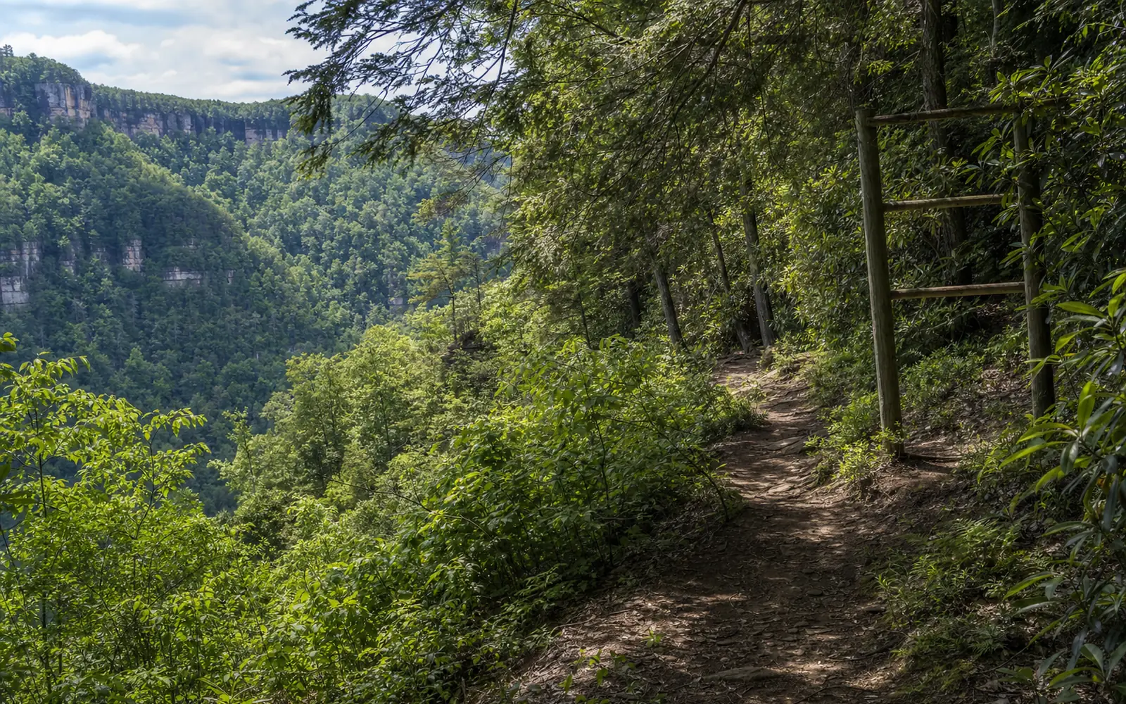
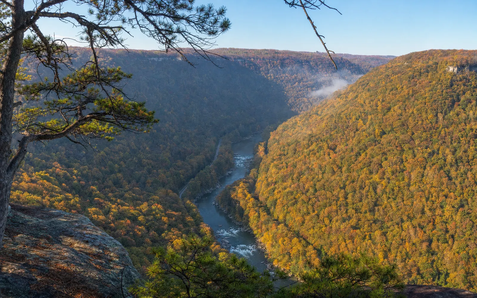
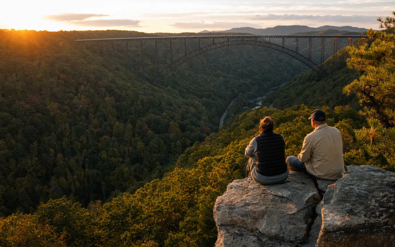
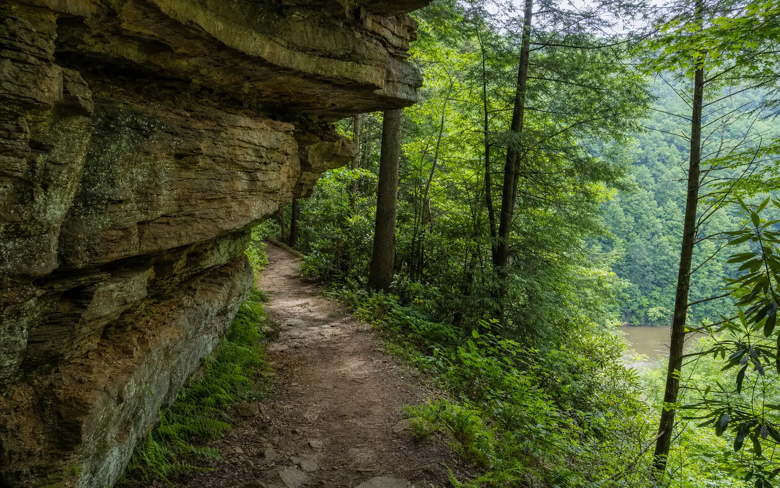
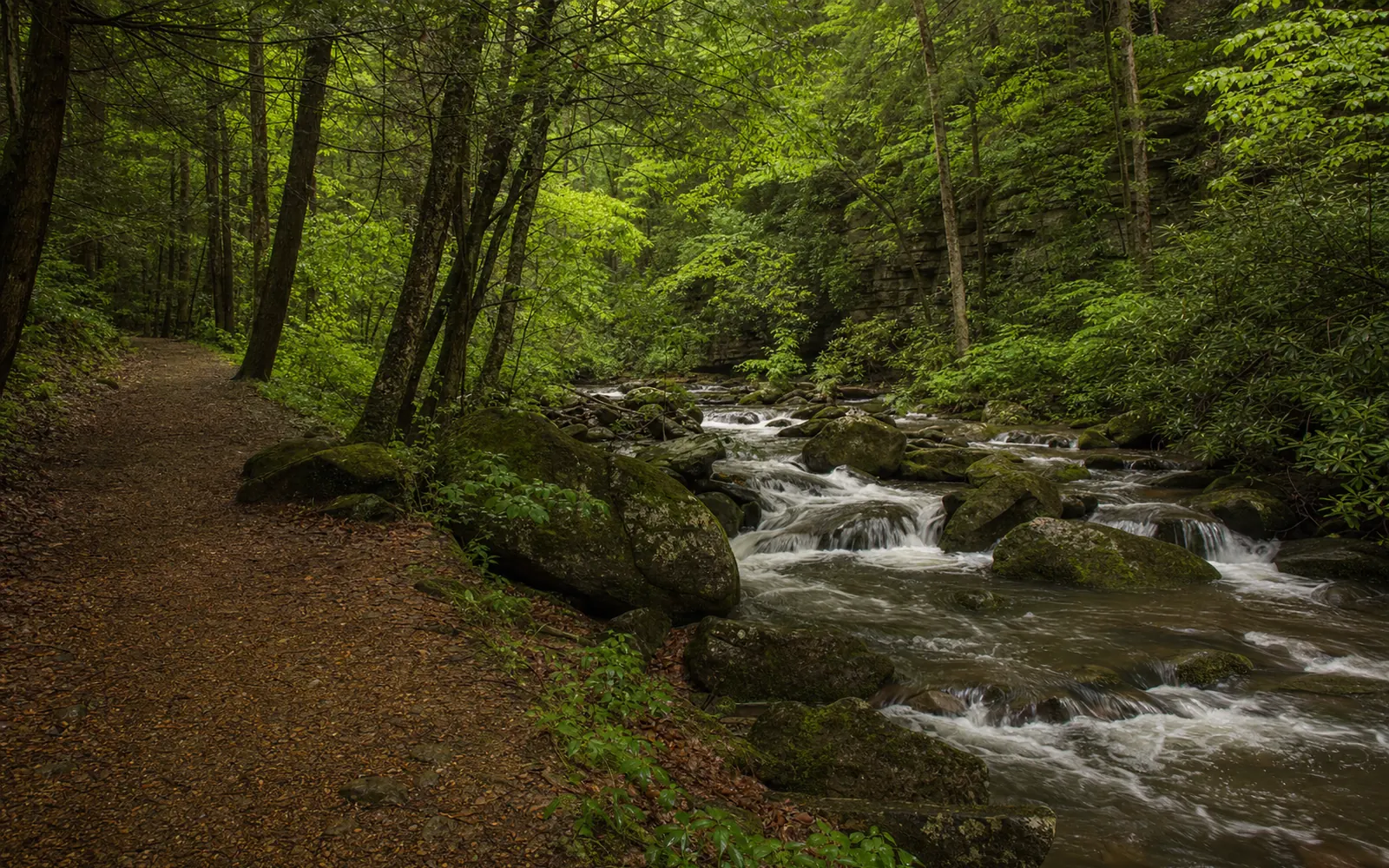
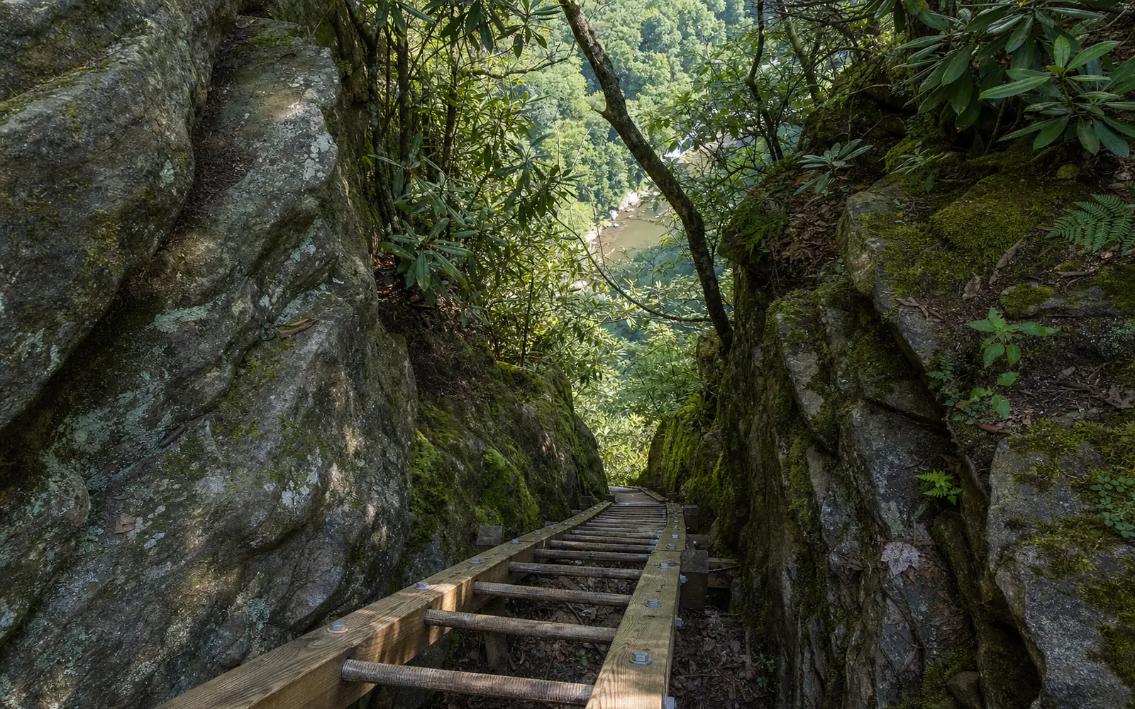
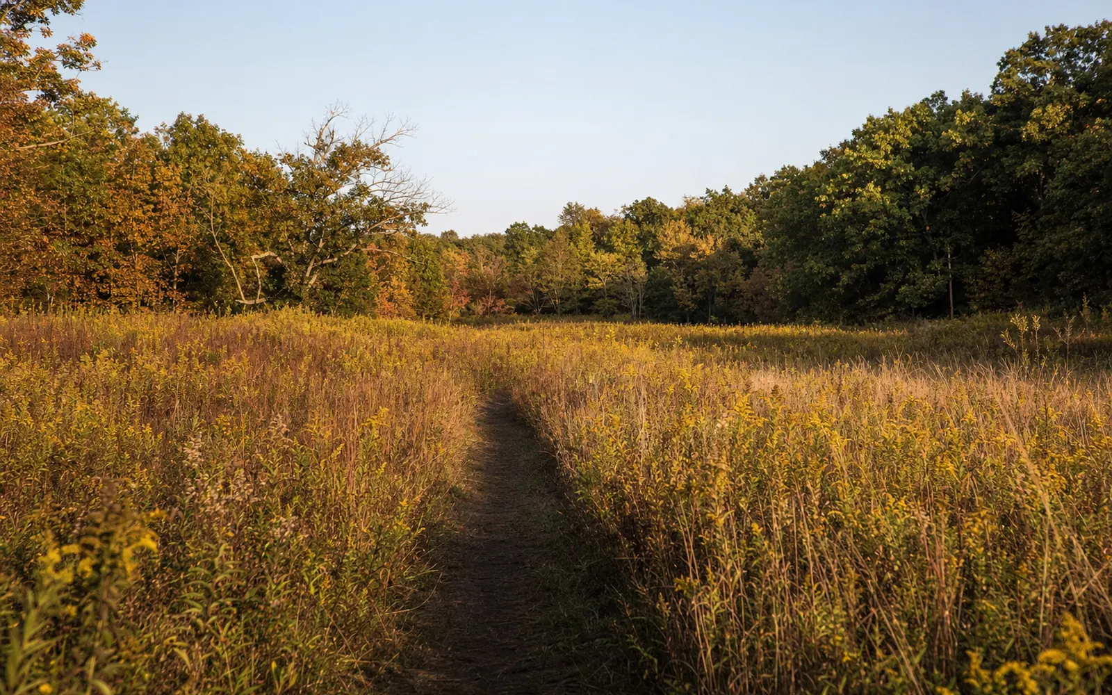
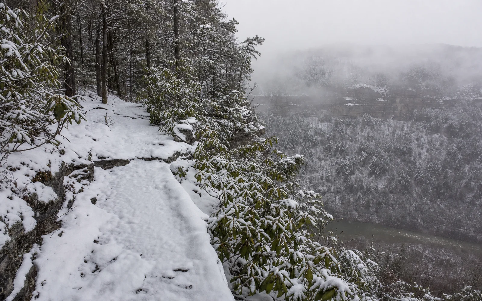
Cliff-top rim walks, bridge views, coal-town ruins and singletrack, most of them minutes from downtown Fayetteville.
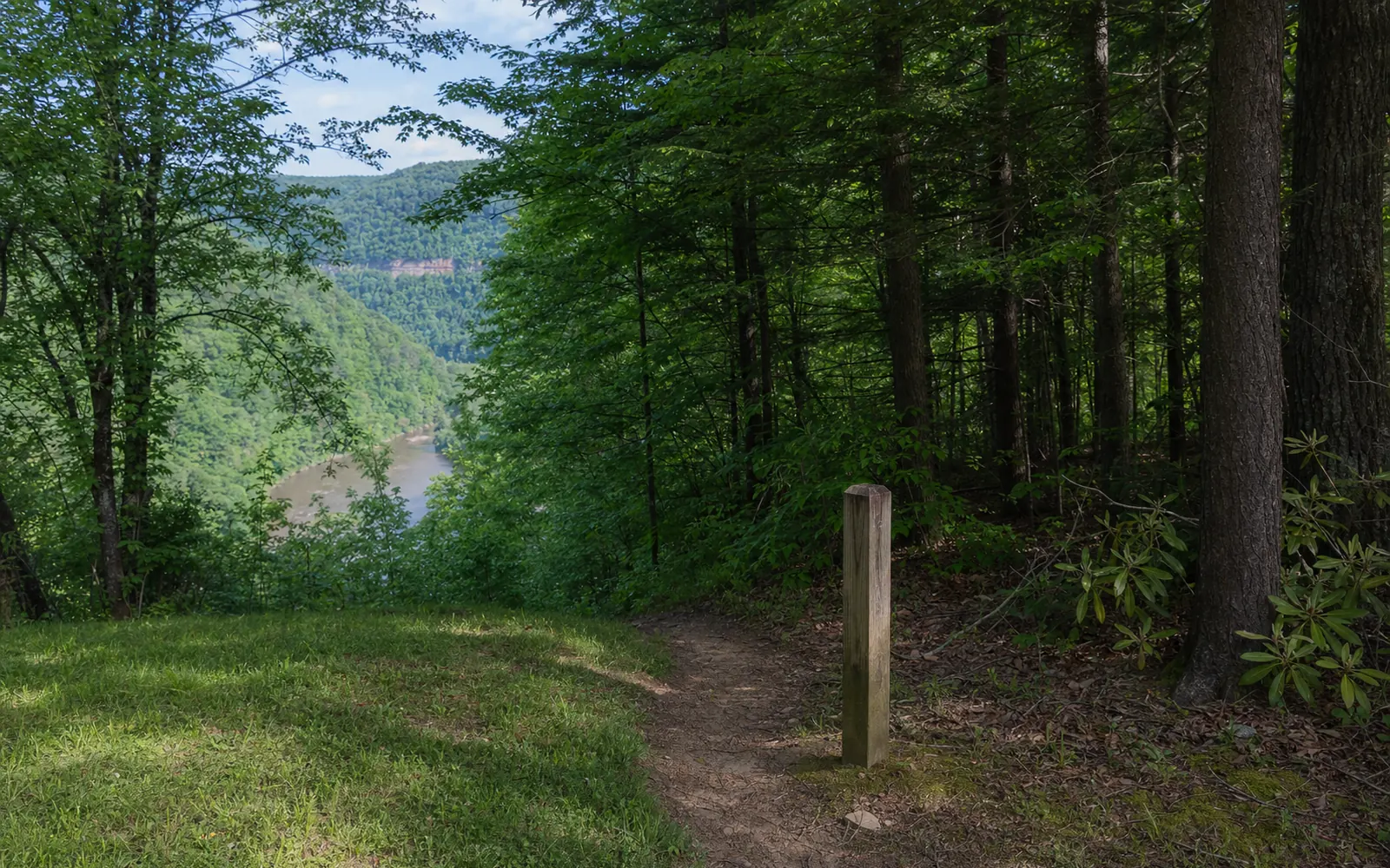
The New River Gorge has "nearly 100 miles of trails," according to the Park Service, and not one of them charges an entrance fee. If you only have a morning, start with the short walks that put the most gorge in front of you for the least effort: the Endless Wall Trail to Diamond Point (two miles out and back), the Long Point Trail to its famous bridge view (3.2 miles round trip) and the Grandview Rim. None is rated harder than moderate.
Below you'll find all 40 trails near Fayetteville, grouped by area, plus the closures to know about this month. One tip before you plan: the table gives one-way distances, so double them for an out-and-back.
Trail and road closures in September 2026
Most of the park is open and ready for you, but the August 15 and 16 flash floods washed out several roads at the north end, and a few trails are closed for repairs. Some of the flood closures are moving targets, so give the park a quick call before you drive out to anything below.
Status as of September 22, 2026: Rend Trail (formerly the Thurmond-Minden Trail) is closed from both trailheads until approximately December 2027 for an $11.8 million rebuild of its five railroad trestles, trail surface and a new Minden trailhead. Check the NPS project release before you go.
Status as of September 22, 2026: Kaymoor Miners Trail: the upper part, from Kaymoor Top down to the mine site at the Kaymoor Trail junction, is closed Monday through Thursday until November 19 for trail rehab and expected to be open Friday through Sunday. The Kaymoor or Craig Branch trails are the alternate routes. Keeney's Creek Rail Trail at Nuttallburg is closed above the Conveyor Trail junction for flood-damage repairs (the lower section stays open), and the Kates Plateau Trail is closed from the Upper Glade Creek parking area to the Kates Plateau Loop because of a slide near the Glade Creek Trail junction. Check the NPS closures page before you go.
Status as of September 22, 2026: Church Loop Trail at Thurmond is closed because of downed trees, and since it leaves the Rend Trail about 0.7 mile from the Thurmond trailhead, the Rend closure blocks it too. Also: the Canyon Rim Visitor Center entrance from US 19 may close at times for state paving that began September 15 (use Lansing-Edmond Road, the next road north); Burnwood group campground and the Burnwood trailhead restrooms close from October 5 to mid-November for water-line work; and the rock tunnels on Grandview's Tunnel Trail are closed. Check the NPS alerts page before you go.
Status as of September 22, 2026: Glade Creek Road was closed past the Grandview Sandbar campground after the August 15 and 16 floods because of a slide, with no reopening date announced. It's the only sensible way to the lower Glade Creek trailhead, so call 304-574-2115 before you go. Check the MetroNews report before you go.
Status as of September 22, 2026: Fayette Station Road, which serves the Bridge Trail lot and the Wolf Creek trailhead, was closed after the flood from Teay's Landing to the start of the two-way section. A reopening hadn't been confirmed on September 22, so check before you go. Check the WOAY report before you go.
Status as of September 22, 2026: Cunard Road (Southside, Brooklyn Mine and the lower Kaymoor Trail) was cut by slides in the flood. As of a September 3 park update, one lane is open through a short section above the new construction and Brooklyn Campground is operating; watch for oncoming traffic. The road closes below the Brooklyn Mine trailhead from November through March, with work continuing through 2027. Check the September 3 park update before you go.
Just outside the park, the Hawks Nest portage and hike-bike trail at Brookfield is closed on weekdays through October 31, 2026, and open on weekends. And wherever you hike this fall, keep an eye out: park officials warned that trails could be "treacherous" in places after the flood, with washouts that may take months to fix and broken limbs still hanging overhead.
Good to know before you hit the trail
Bring the dog. Dogs are welcome on every park trail on a leash no longer than six feet, per the park's pet rules, though not in visitor centers or on ranger programs, and one person can walk no more than two at a time. Streams can carry Giardia, so pack water for your four-legged hiker too.
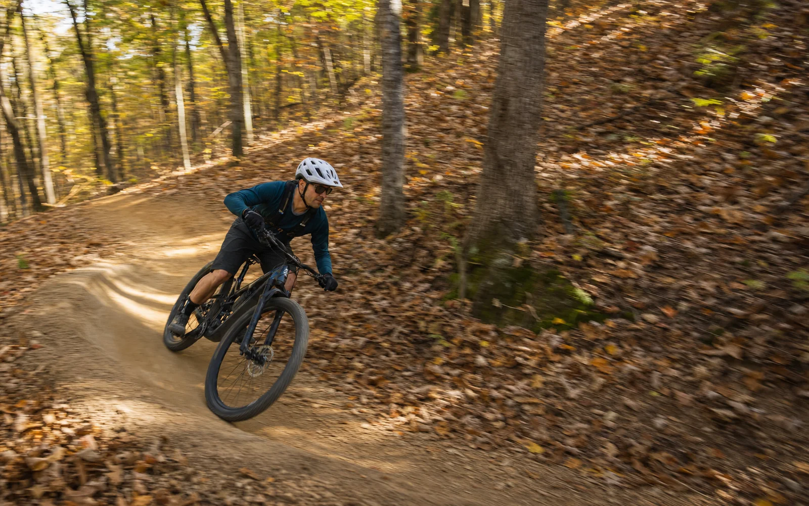
Bikes are stricter. They're allowed only on trails the park designates, and the table marks each one. E-bikes are narrower still: under the superintendent's compendium, effective July 1, 2026, Stone Cliff is the only trail open to them, for Class 1 and Class 2 only, and Class 3 e-bikes are banned from all park trails and administrative roads.
Leave the drone at home unless you have the superintendent's written approval. Campers need to stay at least 100 feet from any trail or trailhead and 300 feet from a cliff top or bottom, per the backcountry rules. Fall hikers, take note: deer archery season opens September 26 in the preserve areas, so a blaze-orange layer is smart on preserve trails. Hunting isn't allowed at Grandview, Sandstone Falls, Thurmond or the lower gorge.
Finally, type a trailhead name into your phone, not the park. The Park Service warns that Apple Maps and Google Maps "may direct you to areas of the park that are rough in terrain and inaccessible and NOT a visitor center." Driving an RV? The Fern Creek, Nuttall, Long Point and Kaymoor Top lots have no room for one.
Every trail near Fayetteville, with distance and difficulty
Here's the full lineup, grouped by area, with one-way distances and the Park Service's difficulty ratings. "n/p" means the park doesn't publish an elevation figure. Tap a column heading to sort within each area.
New River Gorge trails near Fayetteville with distance and difficulty
Grandview shelters 3-4 lot; lower gate on Glade Creek/Royal Rd
Glade Creek and the plateaus (4)
Glade Creek TrailWashout near Kates Falls junction; road closed after Aug 16 flood
5.6 mi one-way
n/p (gentle rail grade)
Moderate
Yes, 6-ft leash
Yes
Glade Creek Campground (lower); upper access 4WD
Kates Falls TrailJunction impassable at high water
0.2 mi one-way spur
n/p (steep)
Strenuous
Yes, 6-ft leash
No
None; 4.6 mi up the Glade Creek Trail
Kates Plateau TrailClosed from Upper Glade Creek lot (slide)
5.1 mi round trip
n/p
Strenuous
Yes, 6-ft leash
No
Polls Branch Rd road end (I-64 Exit 133)
Polls Plateau Trail
4.9 mi round trip
n/p
Moderate
Yes, 6-ft leash
No
Polls Branch Rd road end
Sandstone Falls and Brooks (4)
Sandstone Falls boardwalk
0.2 mi one-way
Level
Easy, accessible
Yes, 6-ft leash; swift water
No
Large paved lot, WV 26, 8.3 mi from the Hinton bridge
Island Loop Trail
0.5 mi loop
Level
Easy, natural surface
Yes, 6-ft leash
No
Sandstone Falls lot
Big Branch Trail
2.0 mi loop
n/p
Strenuous
Yes, 6-ft leash
No
Brooks Falls Overlook, WV 26
Gwinn Ridge Trail
3.0 mi loop
n/p
Strenuous
Yes, 6-ft leash
No
Small roadside pull-off, Brooks Mountain Rd
Cunard, Thurmond and Stone Cliff (5)
Southside TrailCunard Rd one lane; closes Nov to Mar
7.0 mi one-way
n/p (rail grade)
Easy
Yes, 6-ft leash
Yes
Cunard River Access; second lot at Brooklyn
Brooklyn Mine TrailCunard Rd one lane; closes Nov to Mar
2.7 mi one-way
n/p
Moderate
Yes, 6-ft leash
Yes; horses too
Signed trailhead on Cunard River Access Rd
Stone Cliff Trail
2.7 mi one-way
n/p (old road)
Easy to moderate
Yes, 6-ft leash
Yes; Class 1-2 e-bikes
Stone Cliff picnic-area lot past the boat launch
Rend Trail (ex Thurmond-Minden)Closed to about December 2027
3.4 mi one-way (3.2 in 2026 NPS releases)
n/p (rail grade)
Easy
Yes, 6-ft leash
Yes, when open
Thurmond; Minden (under construction)
Church Loop TrailClosed, downed trees
0.1 mi one-way (NPS)
n/p
Moderate to strenuous
Yes, 6-ft leash
No
Off the Rend Trail, 0.7 mi from Thurmond
Nuttallburg (4)
Headhouse Trail
0.7 mi one-way
n/p
Moderate
Yes, 6-ft leash
Yes
Nuttallburg
Keeney's Creek Rail TrailClosed above the Conveyor Trail junction
3.0 mi (bicycling page)
n/p
Not captured
Yes, 6-ft leash
Yes
Nuttallburg / Keeney's Creek
Tipple Trail
0.6 mi
n/p
Not captured
Yes, 6-ft leash
Yes
Nuttallburg
Seldom Seen Trail
0.3 mi
n/p
Not captured
Yes, 6-ft leash
Yes
Nuttallburg
Distances and ratings from the Park Service's hiking index, bicycling page and per-trail pages; status notes as of September 22, 2026.
Which trail is right for your day
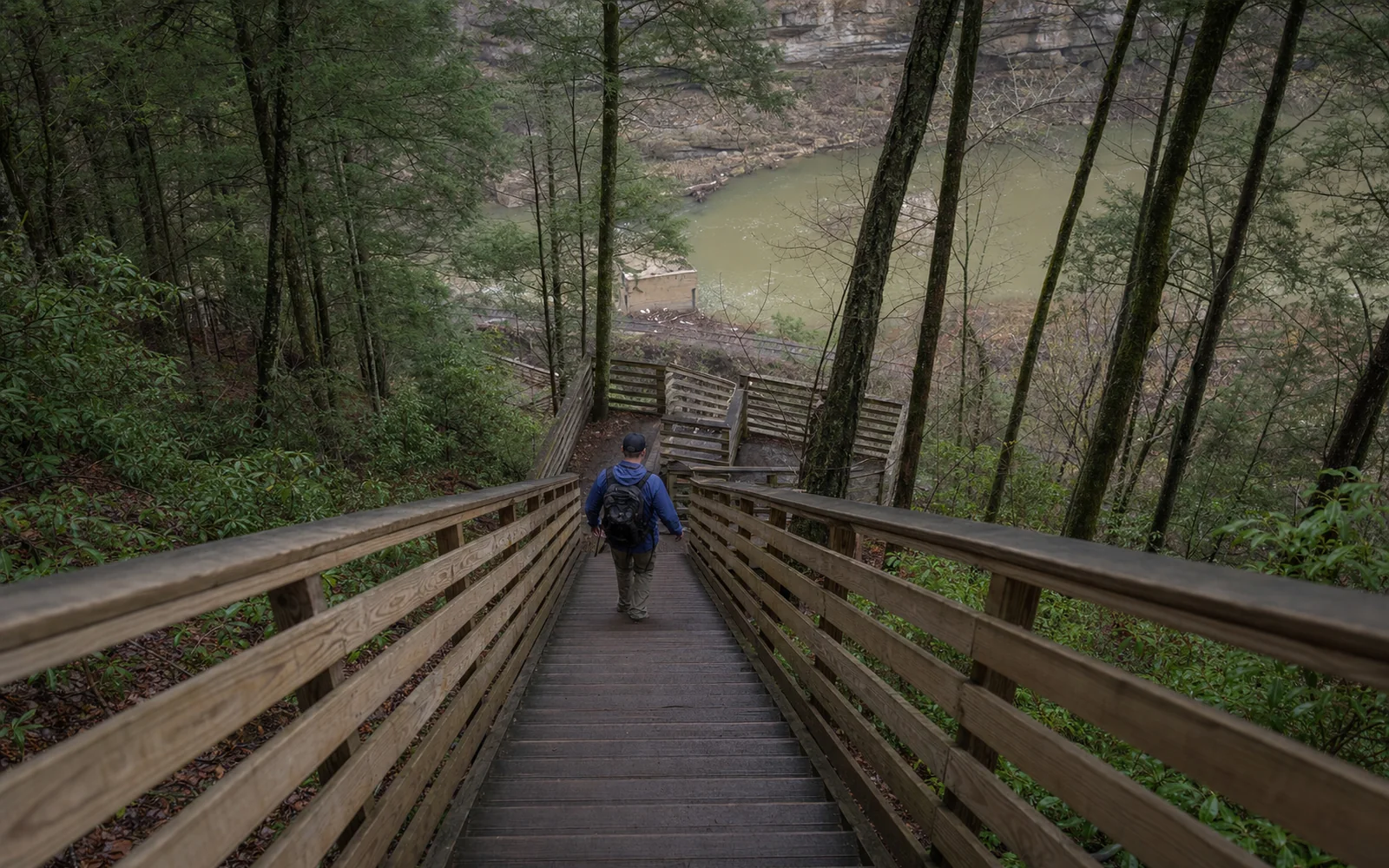
Short on time and want the whole gorge in one look? Canyon Rim's upper deck is reached by an accessible ramp, and the lower deck is worth the 178 wooden steps each way. Long Point and Diamond Point on the Endless Wall are the next step up, and both lots fill early on good-weather weekends, according to hikers on AllTrails and TripAdvisor. Get there before mid-morning or plan to circle.
Love a bit of history underfoot? The Kaymoor Miners Trail drops 900 feet in a mile, the last stretch on 821 wooden steps, to a coal processing plant and coke ovens, while the rail grades at Nuttallburg, Southside and Brooklyn Mine wander past the ruins of old mining towns. Check the Kaymoor closure above before driving out on a weekday.
With little ones along, head for Grandview's Big Buck and Woodland loops, the Park Loop at Fayetteville's Town Park or the level Sandstone Falls boardwalk, and skip Castle Rock, which the park doesn't recommend for young children because of its uneven footing and drop-offs. Riders make a beeline for the Arrowhead loops. And if you'd rather leave the car in town, start at the Town Park and take the Park Loop to the Fayetteville Trail.
October is gorgeous and busy. Fall color, the Gauley release weekends and Bridge Day (October 17, 2026, when US 19 closes over the bridge from 7:00 AM to 5:00 PM) all converge on the same trailheads, so book a base near the trails early and save yourself the driving. The map below compares places to stay around the Fayetteville trailheads.
Still to come: the Kaymoor Trail from Wolf Creek, the Nuttallburg trails, Southside and Stone Cliff, plus the mountain-bike systems outside the park at the Summit Bechtel Reserve near Beckley, Summersville Lake and Little Beaver State Park.
Where to stay near the trailheads
Fayetteville sits between the Endless Wall, Long Point, Kaymoor and Arrowhead trailheads. Compare cabins, campgrounds and hotels near them on one map.
Live map from Stay22. The site may earn a commission if you book, at no extra cost to you.
Facts on this page were checked on 2026-09-22. The editorial policy explains how pages are researched and corrected; send corrections to the editorial desk.
Around the gorge
Endless Wall climbers' access, New River Gorge National Park
Long Point Trail, near Fayetteville
Grandview Rim Trail, New River Gorge National Park
Find a place to stay near Fayetteville, West Virginia
Cabins, hotels, campgrounds and vacation rentals on one live map, with current prices from Booking.com, Expedia, Vrbo and more for your dates. Stay close and you'll spend less time driving and more time in the gorge.
Free to browse. The site may earn a commission if you book, at no extra cost to you.
Where to stay near the gorge
Browse cabins, hotels, and vacation rentals on one live map
Accommodation map powered by Stay22. We may earn a small commission at no extra cost to you.