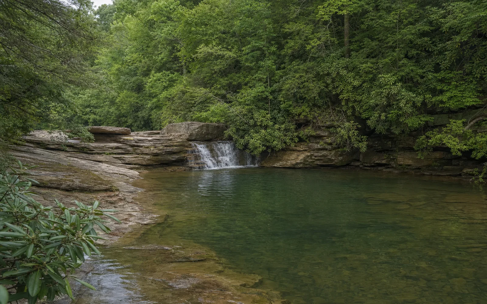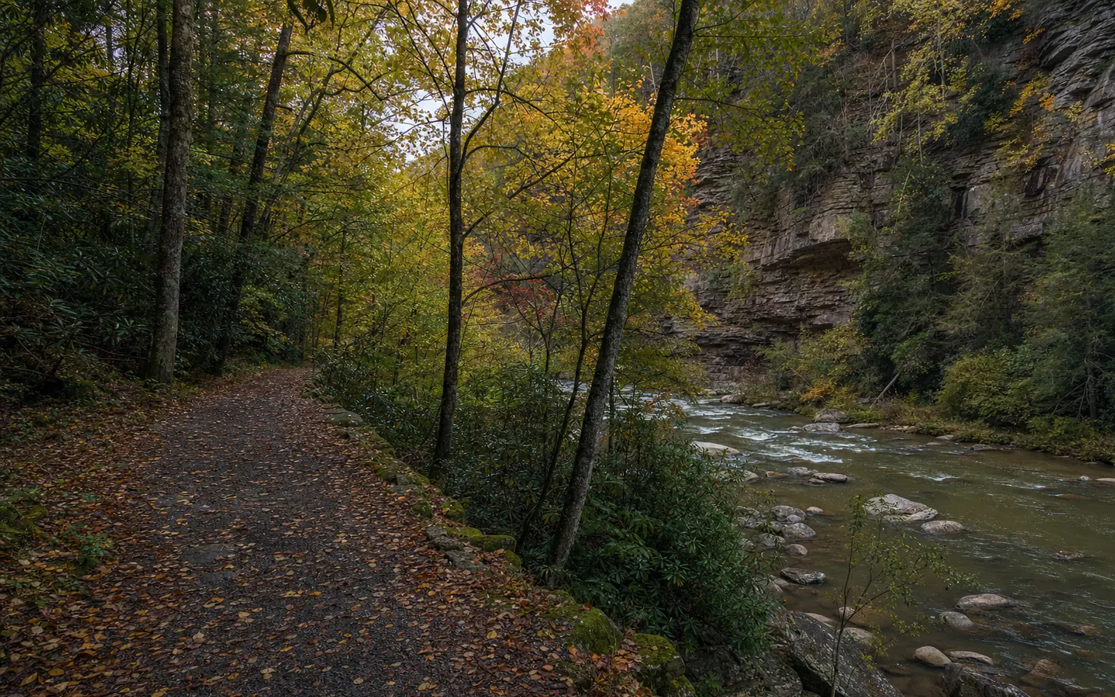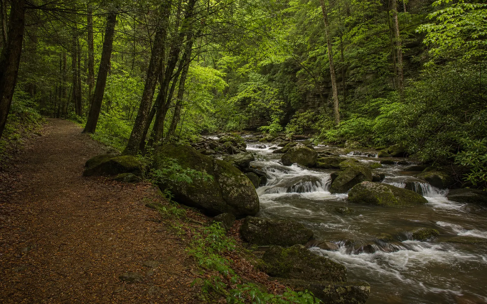
Glade Creek is the gorge's swimming-hole trail: an old narrow-gauge railroad grade that climbs so gently up a creek of cascades and pools that it feels more like a stroll than a hike. It runs 5.6 miles one way near Prince, in the southern end of the park, and it's open to hikers, bikers and leashed dogs. Start at the free campground at the bottom and Glade Creek Falls is about a mile in, with Kates Falls on a short spur at 4.6 miles. One catch this fall: Glade Creek Road was closed past Grandview Sandbar after the August 15 and 16, 2026 floods, and a reopening hadn't been confirmed on September 22, so call before you drive out.
How to get to the Glade Creek trailhead
From Fayetteville, take US 19 south to the Glen Jean exit, turn right on Route 61 south for 2.8 miles, then left to stay on Route 61 for another 4.6 miles. Turn left on Route 41 north for 4.0 miles toward Prince, and turn right onto Glade Creek Road just before the bridge at Prince. From Beckley, take Route 41 north from US 19 (Eisenhower Drive) to the same turn.
Glade Creek Road is gravel and runs about six miles down to the trailhead and campground, per the park's campground page; take it slow. Grandview Sandbar campground is about a mile in, and the flood closure starts beyond it.
There's also an upper trailhead off WV 9 near I-64 Exit 129, reached by an unmarked gravel road just before Fire Tower Road, but skip it. The park "strongly" recommends the campground trailhead instead, since the upper road is "steep, narrow, winding, and unpaved dirt" and fit only for high-clearance 4WD vehicles. The closures page also lists the Kates Plateau Trail as closed from the upper parking area because of a slide.
Camp at the trailhead for free
Glade Creek Campground, right at the end of the road, costs nothing and takes no reservations; it's first come, first served. There are 11 sites (6 walk-in tent sites and 5 drive-in sites for tents or RVs, one of them accessible), composting toilets and no drinking water, so bring all of it. Only small and medium RVs, up to 31.5 feet, are recommended, and the park's record lists cell reception. Grandview Sandbar, a mile up the road from WV 41, has 16 more free sites and stayed open after the flood. The camping guide compares the park's other free campgrounds.
What you'll find along Glade Creek
| From the lower trailhead | What's there |
|---|---|
| First quarter mile | The accessible section, per the park's accessibility page |
| About 1 mile | Glade Creek Falls, where the creek drops down tiered sandstone steps across its full width |
| 3 miles | A footbridge over Glade Creek; below it, the trail "can be narrow and rocky" |
| 4.6 miles | The Kates Falls Trail, a steep 0.2-mile spur; a washout at this junction |
| 5.6 miles | The upper trailhead |
The Park Service calls it "an enjoyable stroll at a very moderate grade" and "a favorite destination for those in search of swimming holes," with cascades and little falls all the way up. Start at the bottom: posters on Reddit point out that the grade rises gently on the way out, so the walk back is all easy downhill.
Glade Creek Falls makes a perfect short outing, about two miles round trip along the creek with a few brief steeper, muddy bits, as the park's waterfalls page describes it. Kates Falls is a full day at about 9.6 miles round trip from the lower lot; the park's hiking index lists the rest of the park's waterfall walks.
Watch for the washout and high water
The park warns of "a wash out in the trail at the junction with Kates Falls Trail" that "may be impassable when creeks are running high." That warning dates from before the August 2026 flood, and park officials said afterward that washouts across the park could take months to repair. After heavy rain, stick to the lower miles and the first falls, and turn back if the water looks high.
Fishing, and when to go
Pack a fly rod. The lower part of Glade Creek, from the pedestrian bridge three miles in down to the New River, is West Virginia catch-and-release trout water, and the park's fishing page recommends bringing one. Summer is prime time for the swimming holes, but the easy grade makes it a good walk in any season when the creek isn't running high, and the trail and campground are free year-round.
For the view from the rim above this same stretch of river, the Grandview trails are a short drive away by interstate. The trails hub carries the current closure list, and what's new logs the flood and its road closures. Not camping? Beckley is the closest big base for this end of the park, and the map here compares places to stay nearby.