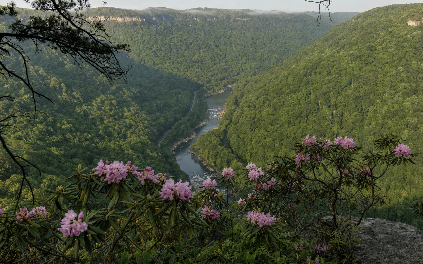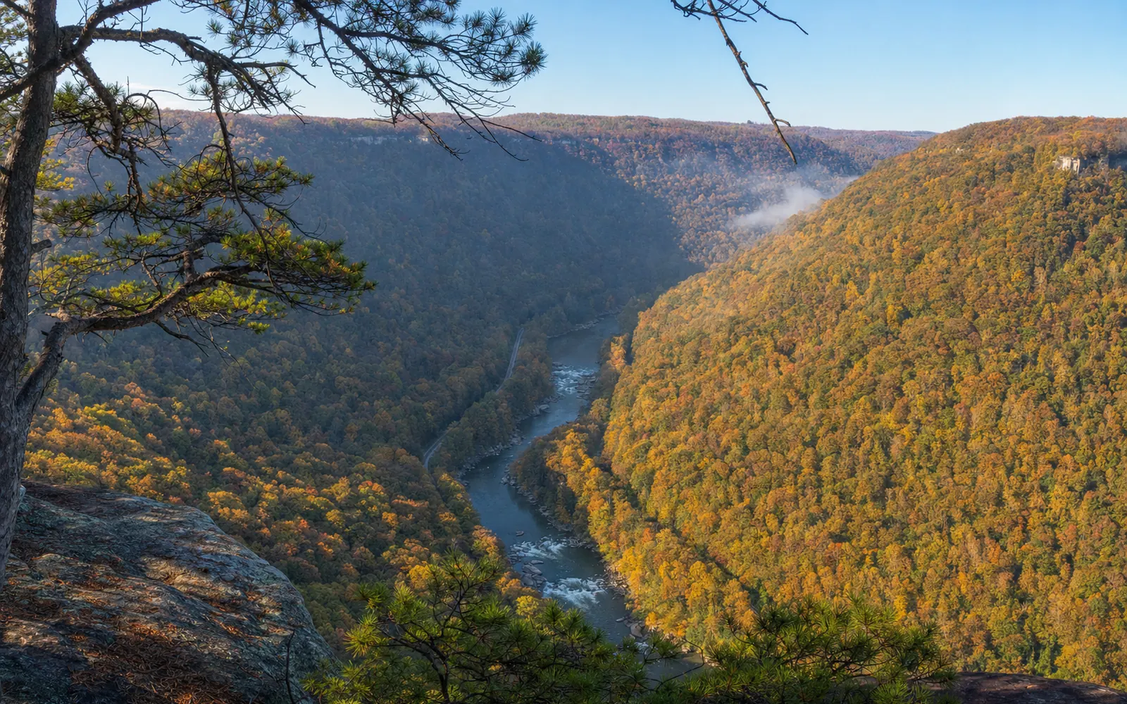
The Endless Wall Trail puts you on top of Endless Wall itself, the long sandstone cliff line that gives the trail its name, with the New River almost 1,000 feet straight down. The classic walk is a free, easy-to-moderate two miles out and back from the Fern Creek lot to Diamond Point, where rafters' voices drift up from the rapids below. The full trail is 2.4 miles end to end, it's a few minutes north of Fayetteville near Lansing, and leashed dogs are welcome.
Where to park for the Endless Wall
Both trailheads sit on Lansing-Edmond Road, a narrow road that leaves US 19 just north of Canyon Rim Visitor Center, so take it slow. Fern Creek comes first, 1.3 miles in and just before the creek; Nuttall is 1.8 miles in.
Here's the catch: Fern Creek is small and fills fast, and the Park Service tows cars parked along the road. If the lot is full, drive another half mile to Nuttall and start from that end. Better still, come on a weekday or arrive early on a sunny weekend. There's a vault toilet, and neither lot can take an RV, per the park's RV tips.
What the hike to Diamond Point is like
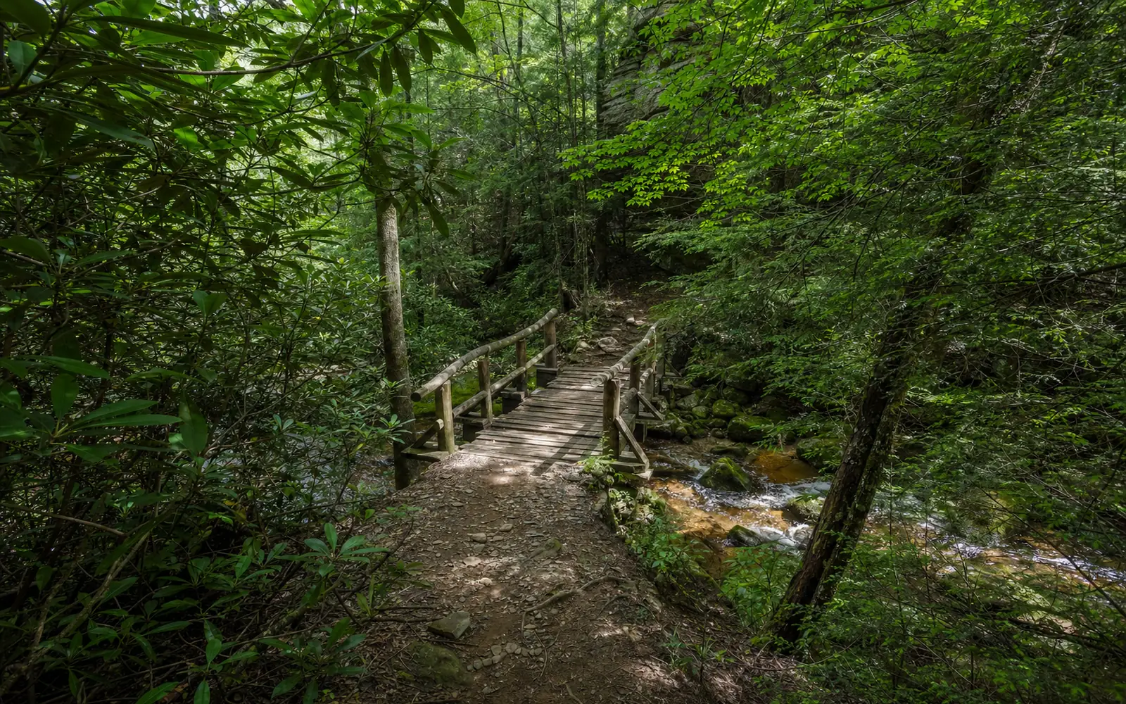
From the trailhead you duck into rich, shady forest and cross Fern Creek, and then the trail starts zig-zagging along the cliff edge, dipping out to one rock ledge after another. About a mile in you reach Diamond Point, a wide-open perch looking down the gorge, with the river far below and the far rim fading into haze. Most people turn around here, and nobody blames them.
Those cliffs are also a climbing destination, part of the more than 1,400 established routes on the park's climbing page. You'll pass short climber access paths heading toward the edge; stay on the marked trail unless you're roped up. Curious? The climbing guide services in Fayetteville can put you on the wall for a day.
Keep going past Diamond Point and the trail runs on to the Nuttall trailhead, named for the Nuttallburg mine, which in the late 1800s was the largest in the New River coalfields. Walk the whole thing and you finish half a mile from your car, with that half mile on the road.
How long is the Endless Wall Trail?
It depends which version you walk, which is why apps and blogs never quite agree. Here are the three ways to do it.
| Route | Distance | Good for |
|---|---|---|
| Fern Creek to Diamond Point and back | About 2 to 2.4 mi; roughly 290 to 320 ft of gain | The view without the full commitment |
| Fern Creek to Nuttall, one-way | 2.4 mi; 427 ft gain, 545 ft loss; average slope 7.9% | A car shuttle, or a friend at the other end |
| Full trail plus the road back | About 2.8 to 3.2 mi, including 0.5 mi of road | Seeing the whole rim in one go |
The Nuttall end sits lower than Fern Creek, which is why the trail loses more than it gains heading that way. The park's hiking index lists it at 2.2 to 2.6 miles; any of these makes a relaxed morning.
Stay safe on the cliff edge
There are no railings anywhere along the wall, and the overlooks put you right at the drop. Keep children close and dogs on a leash no longer than six feet, with no more than two pets per person under the park's 2026 superintendent's compendium. That same rulebook means no drone flights from park land without the superintendent's written approval.
Camping and campfires are off-limits at Fern Creek, and the backcountry rules keep any camping at least 300 feet back from a cliff top.
When to hike the Endless Wall
The trail is open around the clock, all year, for free, so the only real timing question is parking. Summer is kinder here than on open trails, since most of the walk is shaded; October brings fall color along the rim and Bridge Day (October 17, 2026) just down the road, along with the busiest lots of the year. Canyon Rim Visitor Center, just up US 19, is open daily from 9:00 AM to 5:00 PM and is the place to ask about conditions.
More rim walks and where to stay nearby
Both lots full? The Long Point Trail off Gatewood Road is the closest match, with its view aimed straight at the bridge. The best overlooks guide rounds up the other big views, the trails hub lists every trailhead in the area, and the dog-friendly planning page covers the leash rules in more detail.
Staying in Lansing or Fayetteville puts you minutes from Fern Creek, which is exactly what you want when the lot fills by mid-morning. The map here compares places to stay nearby.