Short on time but want a real taste of the region? Drive the Midland Trail. This stretch of U.S. 60, a national scenic byway, packs a cliff-top overlook, a 60-foot waterfall you can see from your car, a river-wide ledge of falling water and one wonderfully strange roadside attraction into the first half hour west of Hico. Ansted, Hawks Nest, Cathedral Falls, Gauley Bridge and Kanawha Falls are all within about 26 minutes of downtown Fayetteville, and the falls and overlook are free. The paid stops keep short fall hours, so check the days before you go.
From Fayetteville, take U.S. 19 north across the bridge to Hico, where it meets U.S. 60, and turn west. The stops below come in the order you'll reach them.
What is the Midland Trail?
It's one of the oldest routes in the state. The road started as "a buffalo trail" later "used by Indians," became the James River and Kanawha Turnpike after a Virginia company improved it in 1824, and eventually turned into U.S. 60, says the West Virginia Encyclopedia. It was named a national scenic byway in 2000. Out here it follows the gorge rim before dropping down to the New and Kanawha rivers at Gauley Bridge.
Stop by stop, heading west from Hico
Hico
Blink and you'll miss it. Hico is the junction of U.S. 19 and U.S. 60, about 7 miles northeast of Fayetteville, with 239 residents in 2020. This is where you turn.
Ansted
Ansted (population 1,303 in 2020) sits on high bluffs along U.S. 60, about 18 minutes from Fayetteville, and takes its name from David T. Ansted, the British geologist who mapped the area's rich coal seams in 1853.
The African American Heritage Family Tree Museum, founded in 1991, collects artifacts of West Virginia's African American culture and history. It opens Saturdays 11 to 4 from Memorial Day to Labor Day and by appointment, so in the fall call ahead at (304) 719-5809. Contentment, the Fayette County Historical Society's museum complex at 19295 Midland Trail, doesn't post hours or prices, so ask the New River Gorge CVB before you stop.
Then there's the Mystery Hole, 16724 Midland Trail, a gloriously tilted room of gravity and balance tricks that's been pulling cars off the road since 1973. Its website lists Saturday and Sunday hours of 10:30 to 5:30, last tour at 5:15, so weekday travelers will find it shut. Admission was $10 for ages 12 and up and $8 for ages 3 to 11 with an adult as of early September. Phone 304-658-9101.
Hawks Nest State Park
About 21 minutes from town, Hawks Nest State Park is free and open around the clock. A 160-yard paved loop leads to the stone overlook the Civilian Conservation Corps built in the 1930s, with the river, Hawks Nest Dam and the tunnel area far below. The lodge, designed by Walter Gropius's architecture firm, "perches on a cliff 750 feet above the river" with 31 rooms. Its Overlook restaurant serves 7 a.m. to 8 p.m. Monday to Saturday, with split hours on Sunday. No swimming in the lake.
Down on Hawks Nest Lake, the New River Jet Boats leave from the marina, about 30 minutes on the water for all ages, from $29 for kids and $45 for adults, with a shuttle from the lodge to the marina. This season Adventures on the Gorge is running the trips on a pontoon boat while the jet boat has mechanical issues. Call 844-823-2684 for days and times.
Why the caution? The old tram closed in 2021 over structural problems, and its $8 million replacement keeps slipping: MetroNews in 2024 expected it by the end of 2025, and later estimates pushed into 2026. Enjoy it as a bonus if it's running, not the reason for the trip.
The Hawks Nest Tunnel, a story worth knowing
The dam below the overlook is tied to the worst industrial disaster in the state's history. Work on a three-mile tunnel through Gauley Mountain began in 1930; of about 5,000 men on the project, about 2,900 worked inside, at least two-thirds of them African American, and "silicosis claimed the lives of at least 764 workers," the Park Service writes. Other counts run from Union Carbide's 109 to more than 1,000. The state's 1986 marker at the park still carries the older figures: "Silica rock dust caused 109 admitted deaths in mostly black, migrant underground work force of 3,000. Congressional hearing placed toll at 476 for 1930-35."
To pay your respects, the workers' memorial and grave site sits off U.S. 19 toward Summersville rather than on the Midland Trail: the Park Service lists it at 98 Hilltop Drive, Lookout, in a field where African American workers were buried, and it was dedicated in 2012. Go quietly; it pairs naturally with a trip to Summersville Lake. For the gorge's wider industrial story, see the coal towns of the gorge.
Cathedral Falls
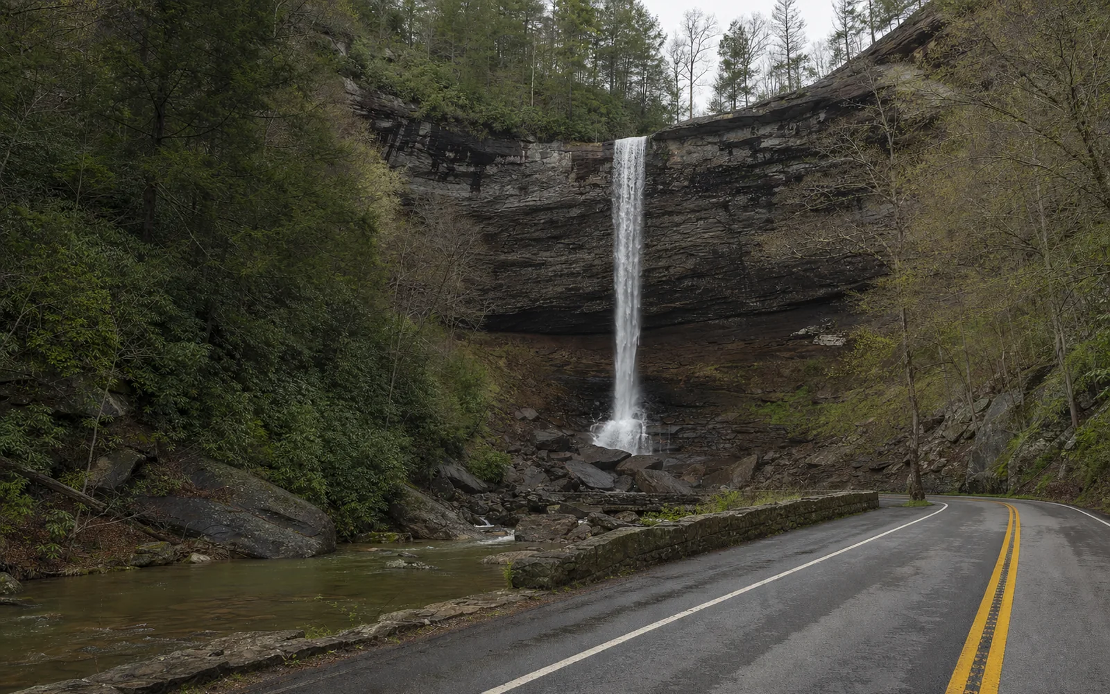
About 21 minutes from town (14.3 miles from Canyon Rim), Cathedral Falls is the showstopper: Cane Creek drops 60 feet over a ledge of shale and sandstone, "one of the highest waterfalls in West Virginia." A small lot on U.S. 60 leads to a paved path and a footbridge, which a Blue Ridge Country writer reckons is the best view, catching the upper tiers and lower cascades at once. The short dirt trail beyond is slippery and not accessible. The lot stays busy, so aim for early morning or evening.
Gauley Bridge
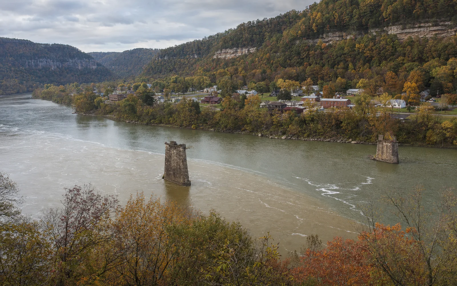
Gauley Bridge sits at "the picturesque confluence of the Gauley and New rivers," and this is where the New becomes the Kanawha. The town is named for a wooden covered bridge from the early 1820s, and during the Civil War it "was taken and retaken three times, and the wooden bridge was burned, rebuilt, and burned again," per the encyclopedia.
Kanawha Falls and Glen Ferris
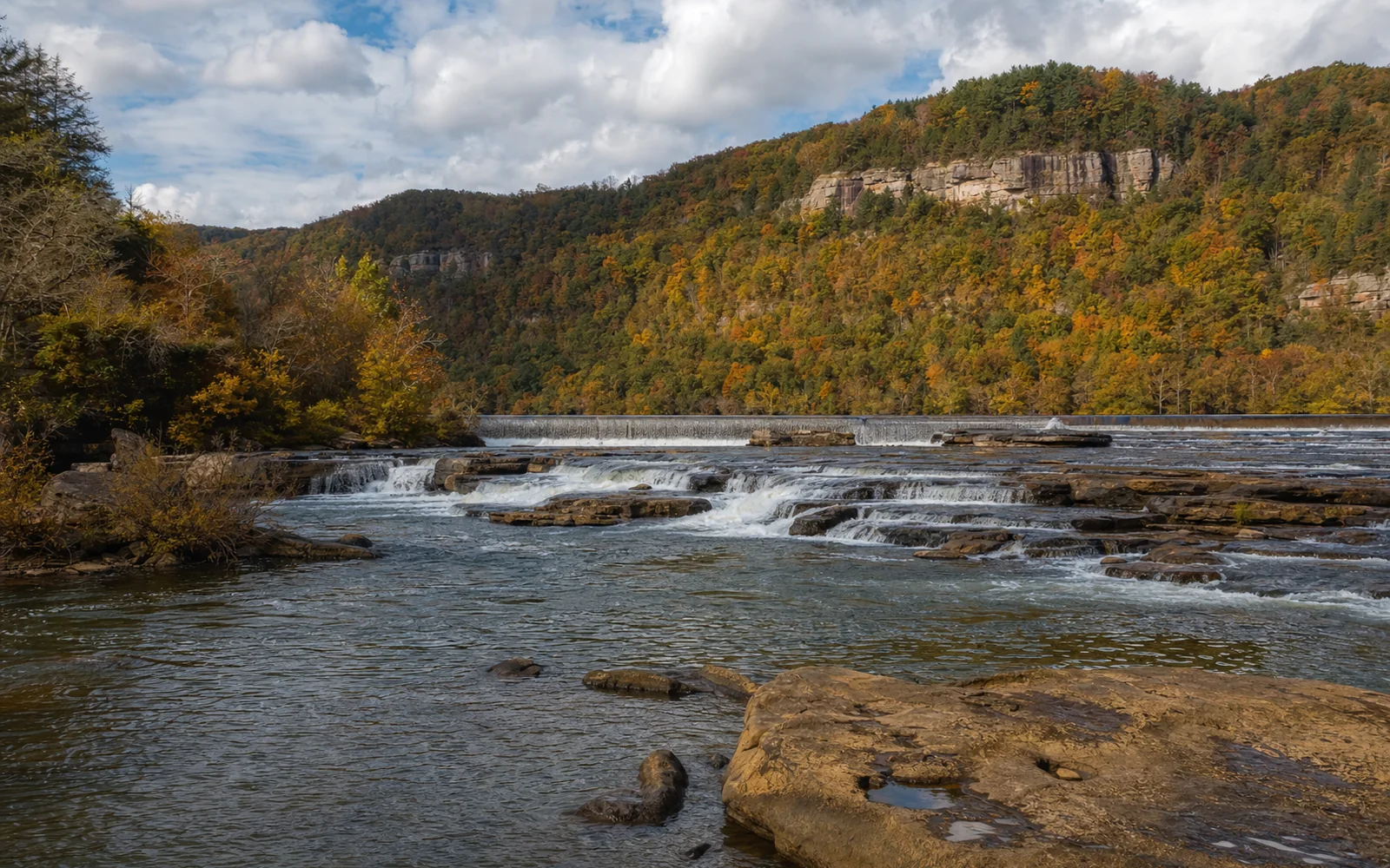
Continue 0.75 mile past Gauley Bridge to a dirt lot on the left. Kanawha Falls runs across "the entire width of the Kanawha River," a sandstone ledge with a low hydropower dam above it, and you can see it from the road with no hiking at all. It's about 15 feet at its highest point (some sources say 20 or more), enough to stop fish moving upstream, which is why anglers like to fish below it.
Right across the road, the Glen Ferris Inn has "served guests since 1839," and its restaurant looks out on the falls. It doesn't post rates or restaurant hours, so call (304) 632-1112.
Tempting as the water looks, stay out of it below Hawks Nest Dam: the dam operator says the bypass reach "is NOT safe for floating or tubing under any flow condition." Both falls are compared with the park's other six in the waterfalls guide, and the geology guide explains the ledges.
When to drive it (and when not to)
Mid to late October is prime time, when the rim and river slopes along U.S. 60 turn red and gold. Just skip it on Bridge Day, Saturday, October 17, 2026: U.S. 19 and the bridge close to regular traffic from 7 a.m. to 5 p.m., and this road becomes the detour through Ansted and WV 16. Coming from Charleston? You'll likely drive U.S. 60 anyway; see getting here.
Any other day, this is the half-day to pick when time is short. To wake up close to the overlook, the map shows places to stay around Ansted and Hawks Nest for your dates.