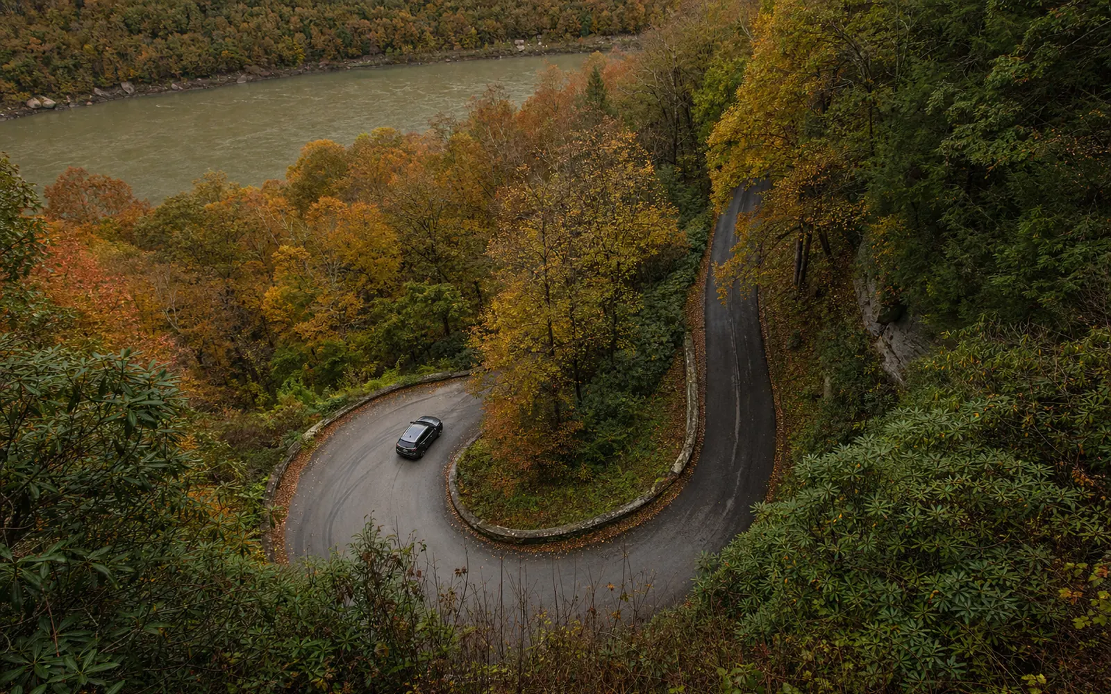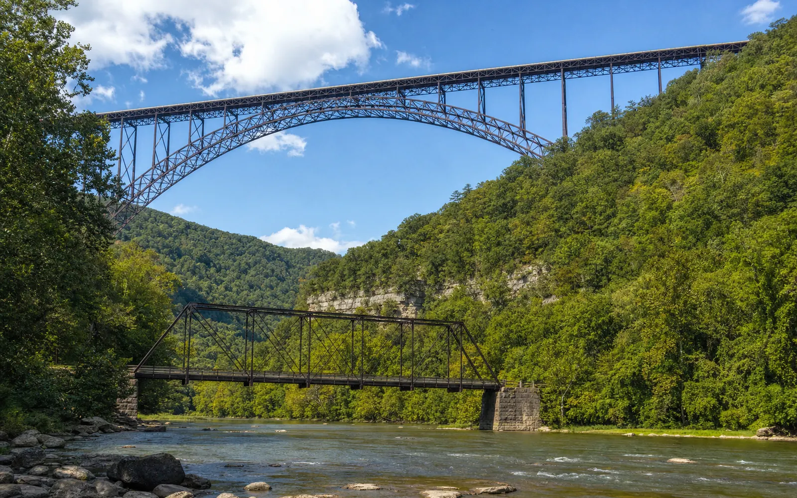
Fayette Station Road is the old way across the gorge, and it's the most fun half hour of driving around Fayetteville: about eight paved, mostly one-way miles of hairpins down one wall, across the New River on the little Tunney Hunsaker Bridge and back up the other side. Along the way you pass under the New River Gorge Bridge three times, craning up at 876 feet of steel. It's free, takes 30 to 45 minutes without long stops by the Park Service's count, and anything taller than 12 feet can't make it through.
One thing to check first: since the August 15 and 16 flash floods, the Park Service hasn't formally announced the whole loop reopened, though no closure is posted either. The status section below has the details, and a quick call to Canyon Rim at 304-574-2115 settles it.
How to drive Fayette Station Road, turn by turn
The road runs one way, north side first. From Canyon Rim Visitor Center:
- Leave the visitor center and turn right (north) on U.S. 19 for 0.3 mile.
- Turn right onto Lansing-Edmond Road, also signed Truck 82, and go 0.4 mile.
- Turn right at the brown park sign and immediately bear left, uphill, onto the one-way road.
- Follow it down to the river, across the Tunney Hunsaker Bridge and up the far side. You'll come out on U.S. 19 near Fayetteville, roughly 2 miles south of the visitor center.
Take it slow and pull off when something catches your eye, because a missed stop on a one-way road means driving the whole loop again. For company on the way down, grab the park's free Fayette Station Road audio tour, paced for 15 to 25 miles per hour, with stops at Lansing, the Ajax mine and spring, the bridge viewpoints and Wolf Creek Trailhead. Download it (and your maps) before you start, since cell service in the gorge is patchy.
What you'll see: the bridge, the river and Fayette Station Rapid
The star of the show is overhead. Three times the road dips under the arch that carries U.S. 19 some 876 feet above the river, and at the bottom you cross on a far older, far smaller truss bridge. The Tunney Hunsaker Bridge dates to 1889, closed once the big bridge opened in 1977 and reopened after a rehab in 1997. It's named for Tunney Hunsaker, a boxer who went on to serve as Fayetteville's police chief.
For the best river-level look back up at the arch, cross the Tunney Hunsaker Bridge and park in the public lot 0.1 mile beyond it, as the park's driving-tour brochure suggests. If it's full, there's an overflow area 0.1 mile past Wolf Creek.
That whitewater below is Fayette Station Rapid, Class III to IV, the last big rapid on the Lower New before the rafting take-out on river left under the bridge, at about mile 6.7. In rafting season you may spot crews finishing their run from the roadside. Want to be in one of those boats? See rafting the New River.
Who shouldn't drive it
Leave the camper at the campground. A railroad underpass has just 12 feet of clearance, and the Park Service says flatly that anything taller can't complete the drive. Trailers may struggle with the railroad tracks and the hairpins, and RVs, trailers and large vehicles aren't recommended at all.
Nervous about narrow roads? Be honest with yourself. Drivers on Reddit describe it as "very curvy with steep drop-offs," and once you're on the one-way section there's no turning back. It's slow and short, though, so take it in low gear and enjoy the scenery. The rules, safety and services guide covers the rest of what applies on park roads.
Hikes you can start from the road
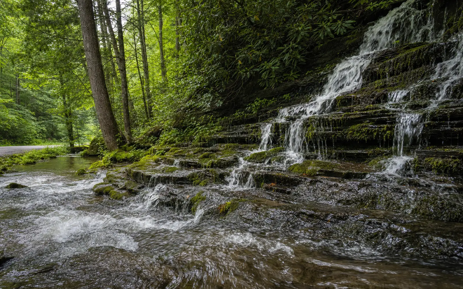
Bring your boots, because three trails start along the way. The Kaymoor Trail runs 8.6 miles one way from the Wolf Creek Trailhead to Cunard, past the old Kaymoor mine site, and Wolf Creek Falls is just 0.2 mile from that trailhead on the park's hiking list, an easy leg-stretcher. The Fayetteville Trail also leaves from Wolf Creek Trailhead, 1.2 miles past the Tunney Hunsaker Bridge, where parking is very limited. And the Bridge Trail, 0.86 mile one way, walks you right beneath the big bridge from a signed parking area 0.8 mile down the road from its south end.
Through November 19, 2026, the upper Kaymoor Miners Trail is closed Monday through Thursday for rehabilitation, but on weekdays you can still reach the mine site and its stairs from Fayette Station Road by way of the Kaymoor Trail, WOAY reports.
Is Fayette Station Road open?
Here's how the road has fared since the August storms:
| Date | What happened |
|---|---|
| August 16, 2026 | Downed trees after the flash floods close the road "from Tunney Hunsaker Bridge to Outpost Campground"; the two-way north section stays open (West Virginia Explorer) |
| August 18, 2026 | Park Service extends the closure "from Teay's Landing to the two-way section" (WOAY) |
| August 28 and September 4, 2026 | The Outpost campground, 843 Fayette Station Road, reopens partly, then fully (The Outpost) |
| September 16, 2026 | Park alert routes Canyon Rim visitors onto the north end during U.S. 19 paving |
| September 22, 2026 | No Fayette Station closure in the park's alerts |
A reopened campground on the road and no posted closure are both good signs, but neither is the Park Service saying the full loop is clear, so call before you commit. The what's new page will note the official reopening when it comes.
Fayette Station Road on Bridge Day
On Bridge Day, Saturday, October 17, 2026, you can't drive the road to the festival. In 2025 the Park Service closed it at 6:00 PM the Friday before and towed cars left inside, WOAY reported; expect the same this year.
There's a fun alternative, though. Into the Gorge is a Bridge Day bus that runs down Fayette Station Road to the Tunney Hunsaker Bridge, so you can watch the jumpers from the bottom, for $75 per person plus tax. Pick up tickets and catch your downbound ride by 1:30 PM, and pack snacks, since there are no food vendors at the bottom. Buy through the Fayette County Chamber of Commerce at 304-465-5617.
Nearby, and where to stay
The drive starts minutes from Canyon Rim and ends near Fayetteville, so it slots neatly between the visitor center and lunch in town. Campers can sleep right on the road at The Outpost, 843 Fayette Station Road. For hotels, cabins and rentals on either rim, the map here compares places to stay near the start of the drive for your dates.