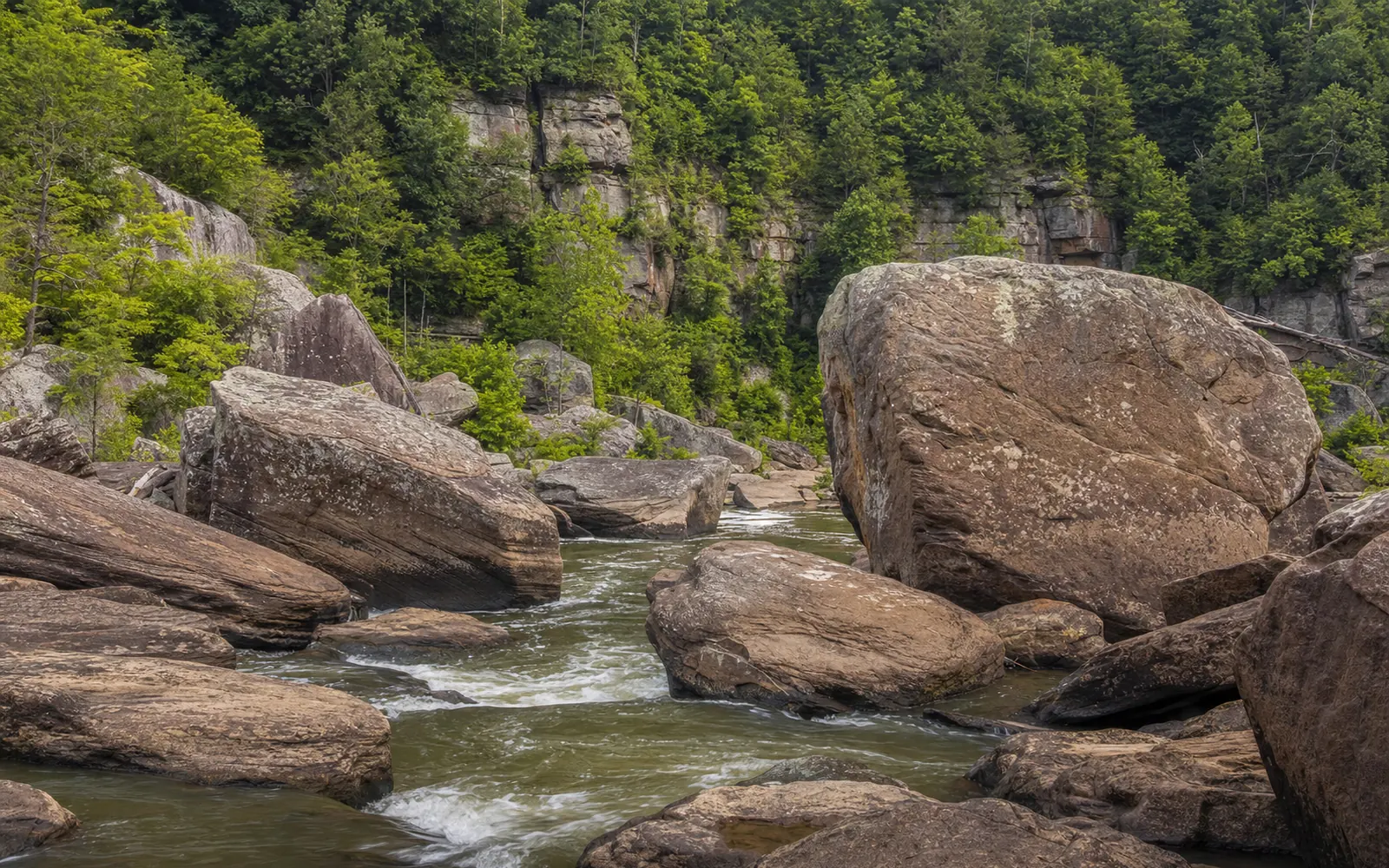
Here's the fun part: nobody actually knows how old the New River is. The Park Service's geology page puts the estimates anywhere "from 3 million years to 320 million years." What geologists can say for sure is the upper limit: the youngest rocks the river cuts through are about 320 million years old, so the river has to be younger than that. As for the famous "second-oldest river in the world" line, the state's own geological survey says to examine it "very carefully."
That's a better story than a tidy number. You can't read the river's age in the gorge, but you can read the age of its walls, and standing on the rim you're looking at a slice of time more than 300 million years deep.
Published September 22, 2026
Is the New River really the second-oldest in the world?
The claim mostly lives in travel writing. West Virginia Tourism says "some claim it to be the second oldest, aging between 10 and 360 million years old," and Eos, the American Geophysical Union's magazine, wrote in 2021 that the river dates "back to the days of the supercontinent Pangaea."
The West Virginia Geological and Economic Survey takes it on directly. Two "persistent statements" follow the New around, it says: that it's the only river to flow completely across the Appalachians, and that it's the second oldest in the world. "Both of these statements should be examined very carefully." Its verdict is a lovely shrug: the New could be "the 2nd oldest, 22nd oldest, or 102nd oldest river in the world." Wikipedia notes that both the survey and the Park Service dispute the claim.
One figure to take with a grain of salt: 360 million years would make the river older than the rocks it carved, which can't be right. No peer-reviewed study or USGS statement dates the river at all.
Five ways to date a river, five different answers
Drawing on a 1987 article by R. F. Fonner in Mountain State Geology, the survey works the problem five ways and gets "320, 225, 65, 10, and 3 million years." Each rests on a different assumption. The 320 is the ceiling, set by the youngest rocks in the gorge. The 225 assumes the river began with the first uplift of the Appalachians, while 65 assumes it began after the last major uplift. Ten million comes from erosion: at "one foot every 6,000 years," cutting through 1,600 feet takes about that long. And 2 to 3 million comes by comparison with the Grand Canyon.
"This points out our inability to date the New River."
The survey admits that "the five calculations make assumptions that may or may not be valid." The Park Service's 3-to-320-million range is the same spread, so the two agencies agree; it's the tourism figures that wander outside the lines.
What the gorge walls tell you
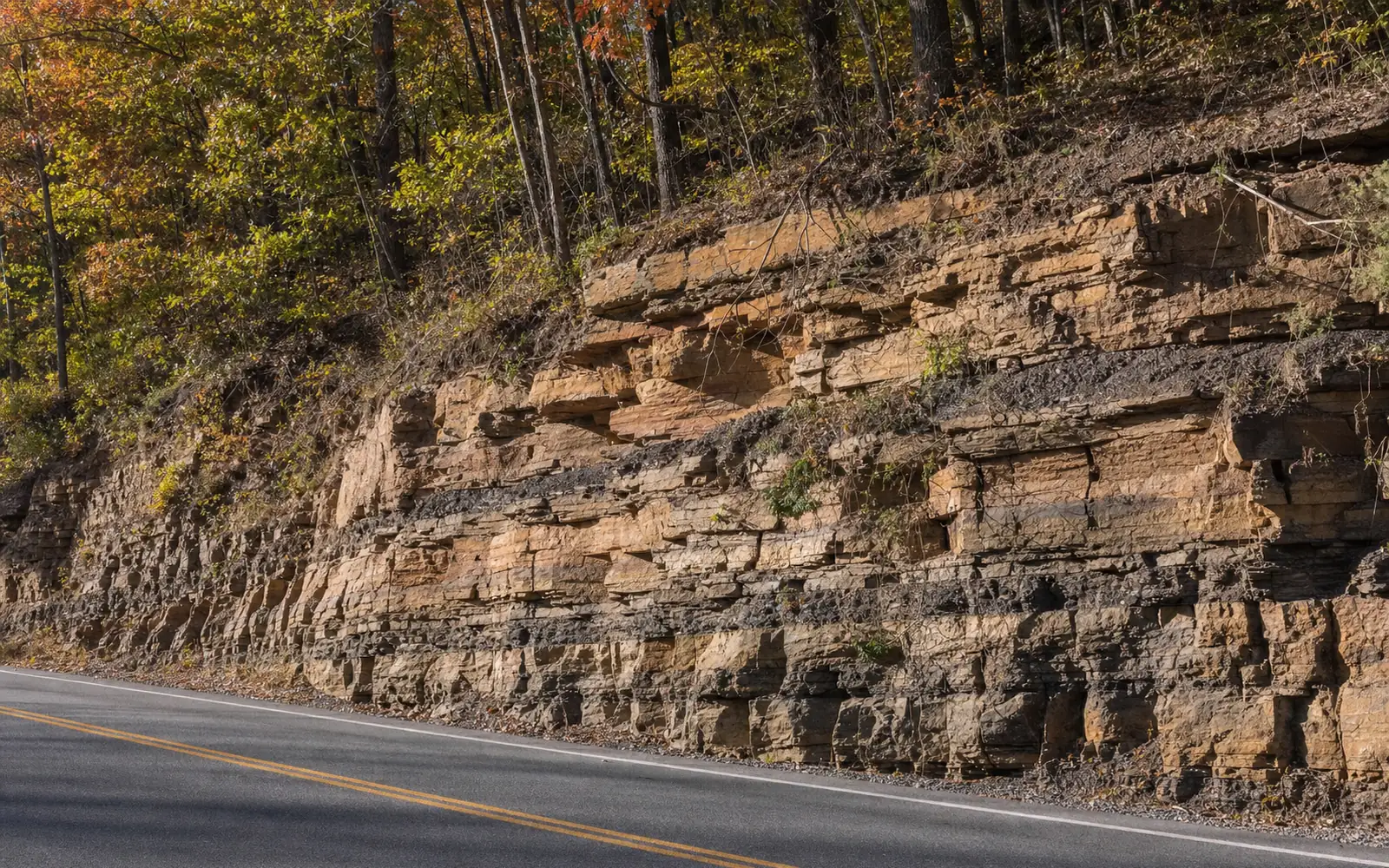
The walls are easier to date because they were laid down in order, like pages in a book. The survey counts seven formations in two groups: the four oldest from the Mississippian period (the Mauch Chunk Group) and the three youngest from the Pennsylvanian (the Pottsville Group). The line between them sits in rock about 325 million years old, and the whole stack spans roughly 320 to 330 million years ago. You'll often see that 325 quoted as the river's age. It's really the age of a line in the rock.
Laying all that down took 7 to 10 million years, at around 2,000 years for each foot of rock, and it happened when West Virginia sat south of the equator. The layers tilt down to the northwest at about 60 feet per mile, which changes what you see as you travel downstream (more on that below).
From the top down, the Pennsylvanian rocks are the Kanawha Formation, "900 feet of shale and siltstone with lesser amounts of sandstone" with the Gilbert and Eagle coal seams; the New River Formation, with the Fire Creek, Beckley and Sewell seams "and Nuttall sandstone at top"; and the Pocahontas Formation with its "famous Pocahontas coal seams." Those seams are why the gorge filled with company towns after 1873, a story told in the coal towns of the gorge.
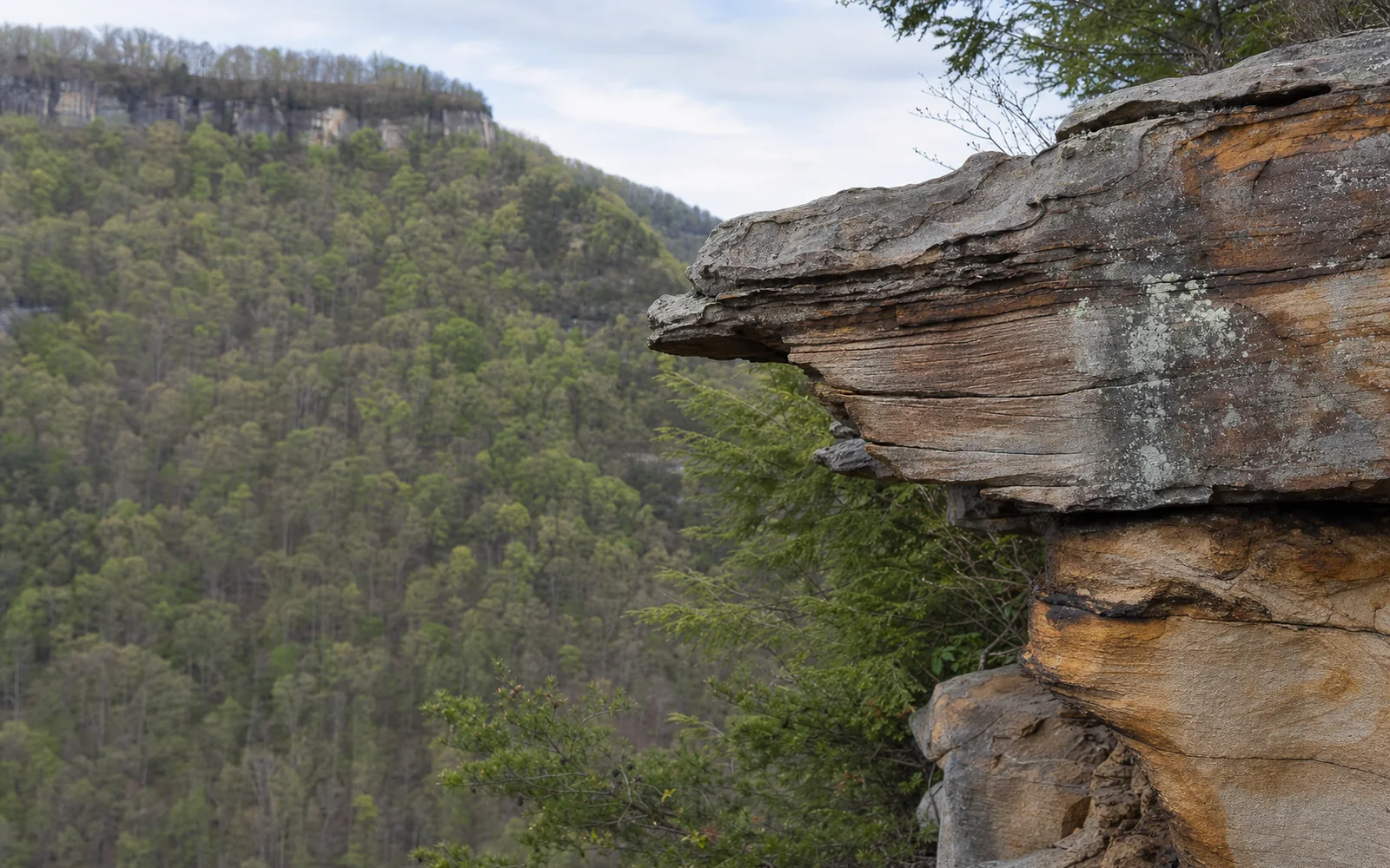
Climbers come for the Nuttall. The Park Service's geologic formations page calls it "a unique sandstone type that is 98% quartz," tough, erosion-resistant stuff that forms the cliff band along the Endless Wall and gives the gorge its steep sides. Want to get your hands on it? The climbing guides page covers who takes people up.
How deep is the New River Gorge?
It depends where you stand. Figures for a typical depth run from about 900 to 1,300 feet, and the survey puts the deepest point at about 1,600 feet. The named viewpoints give you firmer numbers: Grandview's Main Overlook is 1,400 feet above the river, the river is almost 1,000 feet below the Endless Wall Trail, the bridge deck is 876 feet up, and the Sandstone Falls Overlook sits 600 feet above the water.
Length varies by who's measuring too, from the 52 miles between Hinton and the bridge to about 66 miles from Hinton to Gauley Bridge. Either way, the Park Service's Geodiversity Atlas calls it "the deepest and longest gorge in the Appalachian Mountains."
The river did all that cutting slowly, wearing into about 4,000 feet of layers of old "sand, mud, and rotting plants" with a "sandpapering action," where "Each foot may take thousands of years." The stack of layers is thicker than the gorge is deep because the layers tilt.
Why the New River flows north
The New rises in northwestern North Carolina, near Boone and Blowing Rock, and runs north through Virginia into West Virginia, following part of the course of the ancient Teays River, which flowed north and northwest before the Pleistocene ice ages, more than 2.5 million years ago. Eos sums up the trick in one line: "the highly erosive Teays kept cutting into the mountains faster than the uplift rate," so the river held its course while the mountains rose around it.
And that other famous claim, that the New crosses the Appalachians? Not quite. "Actually, the New River flows north and only turns west after it becomes the Kanawha River," the survey says, and none of the west-flowing rivers that start high in the range, the New included, "completely crosses the Appalachians." What the New does do, per the Park Service, is cut straight through the ridge-and-valley province instead of draining around it.
You can see the tilt of the rock on a drive downstream. The ridges get lower heading north, and the rock layers dip the same way, "So as one travels downstream, each successive rock layer disappears below the river and out of view."
Where to see the geology for yourself
Start at the New River Gorge Bridge. "At road level (top) is the Nuttall sandstone (which also underlies Hawks Nest State Park). At the base of the bridge pier (bottom center) is the Sewell coal," the survey explains. Drive across and you're level with the climbers' rock, with the coal that built the towns far below at the foot of the pier.
At Hawks Nest, the overlook stands about 750 feet above the river, which puts you at the same elevation as Bluestone Dam upstream near Hinton, because the river drops about 750 feet (roughly 11 feet a mile) between Hinton and Gauley Bridge. The waterfalls, wildlife and fall color growing on all this rock are in the New River Gorge nature guide.
The waterfalls are geology you can hear. At Cathedral Falls, Cane Creek drops 60 feet "over a rocky ledge of shale and sandstone"; Kanawha Falls is "a sandstone ledge across the river"; and Sandstone Falls spreads over ledges and islands 1,500 feet across. The waterfalls guide has the directions, and Grandview shows off the full depth of the canyon from a single railing. Visit in October and the whole layer cake comes wrapped in fall color. For park basics, see New River Gorge National Park.