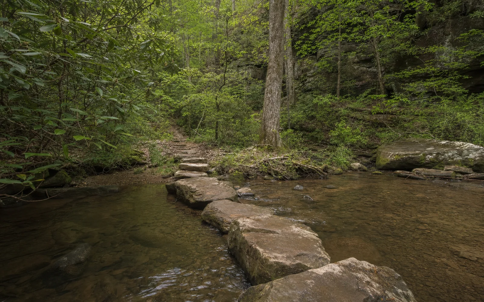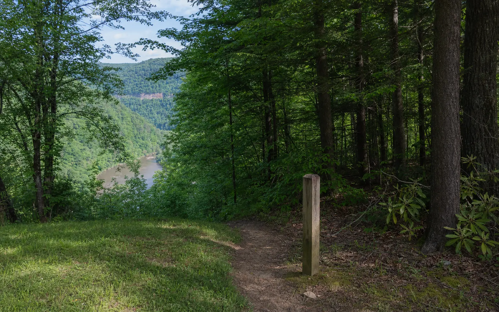
Here's a rare thing for a national park: you can walk into this one from town. The Park Loop Trail starts at Fayetteville's Town Park, about half a mile from downtown, and hooks into the Fayetteville Trail, a 3.96-mile, moderate-to-strenuous route for hikers and bikers that links up with Long Point, Kaymoor and the Bridge Trail. The Park Service reckons the Town Park is "probably" the most popular trailhead in the area, and when your coffee stop and your trailhead are half a mile apart, it's easy to see why.
How to find the Town Park trailhead
The park sits in a quiet residential corner of town, so visitors heading for Canyon Rim tend to drive right past without knowing it's there. From Court Street (WV 16), turn left on Fayette Avenue, then right onto Park Drive, following the Town Park signs. At the stop sign by the park, stay on Park Drive for 0.2 mile and turn right into the trailhead driveway, per the park's directions.
The Charlie McCoy Town Park is worth a look in its own right, especially with kids or a dog along. The town lists a half-mile paved walking loop with fitness stations, two dog parks, a splash pad, a skate park and a 10,000-square-foot paved pump track. Inside the Park Loop there's a bike skills area with 16 wooden features, which opened July 7, 2025.
The trails and how they connect
| Trail | Distance | Rating | Bikes | Role |
|---|---|---|---|---|
| Park Loop | 1.1 mi loop | Easy | Yes | The start from the Town Park |
| Fayetteville Trail | 3.96 mi one-way | Moderate to strenuous | Yes | The spine: Town Park, Kaymoor Top and Wolf Creek |
| Timber Ridge | 1.0 mi one-way | Easy | Yes | From Newton Road to the Fayetteville Trail near Wolf Creek |
| Bridge Trail | 0.86 mi one-way | Moderate to strenuous | No | Under the New River Gorge Bridge |
Think of the Fayetteville Trail as the spine of the whole network. It runs between Fayette Station Road, town and Kaymoor Top, with hiking access to Long Point, and from it you can branch onto the Kaymoor, Bridge, Park Loop, Timber Ridge, Long Point, Butcher Branch, Kaymoor Miners and Craig Branch trails. Expect a creek crossing and plenty of up and down: an out-and-back adds up to roughly 1,400 feet of climbing.
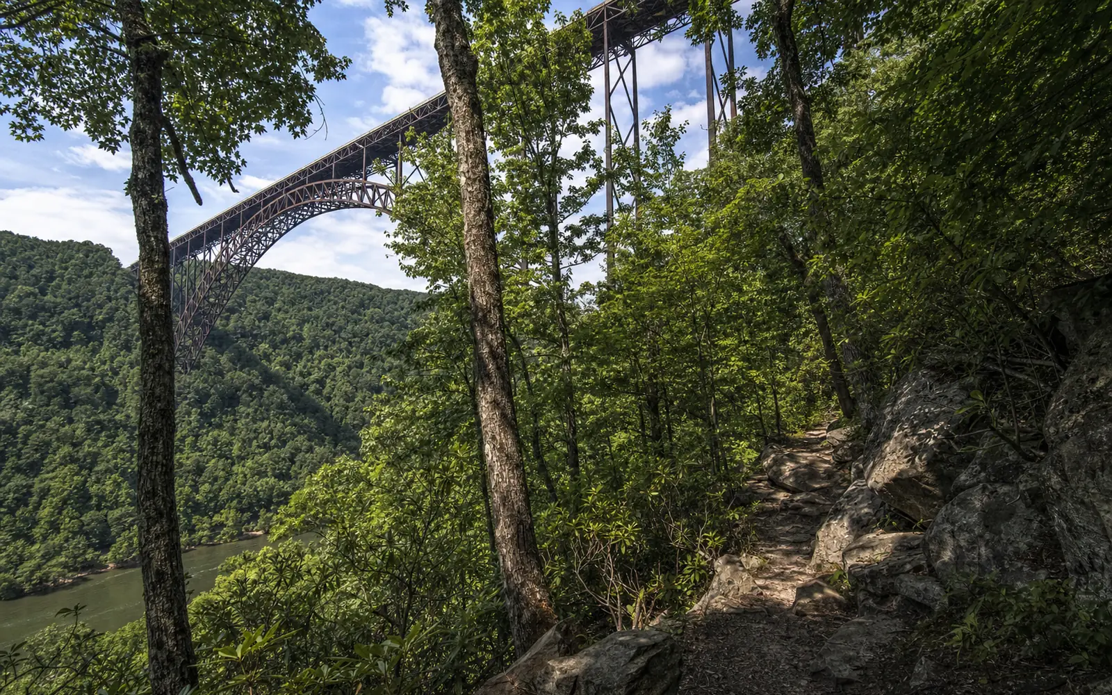
For the quickest wow, head for the Bridge Trail. It's hiking-only and "occasionally steep and rocky," and it takes you directly under the New River Gorge Bridge; craning up at that steel arch from below is a whole different experience from the overlooks. It has its own lot with a vault toilet, 0.8 mile down Fayette Station Road from US 19, entered south of the bridge. For the classic side-on view of the same arch, walk out the Long Point Trail.
The other two trailheads
Kaymoor Top is the easy one to reach: Gatewood Road 2.0 miles from WV 16, left onto Kaymoor No. 1 Road, about a mile to the intersection, then left, and the lot is 50 yards on the right. The Fayetteville Trail starts at the end of the lot, beside the Kaymoor Miners Trail, whose upper section is closed Monday to Thursday until November 19, 2026.
Wolf Creek, on Fayette Station Road 1.2 miles past the Tunney Hunsaker Bridge, is the tricky one, and the park puts its warning in capitals: "VERY LIMITED parking." Park right in front of the trailhead or past it, around the hairpin, in the pullouts on the right. Never park on the left side of the road on the approach, because cars there block bigger vehicles from making the hairpin, and watch for the posted no-parking areas.
Trail safety and rules
Plan for the creek crossing, and be ready for wet feet after rain. Since the August flood, park officials have warned through MetroNews that trails across the park could be "treacherous" in places, so watch your footing. Dogs are welcome on a leash of six feet or less. Bikes and walkers share the trail, and the park's bike rules have riders yield to hikers and downhill riders yield to uphill ones. E-bikes aren't allowed.
Bigger days from the Town Park
Riders, here's a local favorite: a shop owner quoted on the town's tourism site recommends "linking the Town Park Trails and making a loop to the Arrowhead Trail system." The Arrowhead Trails guide covers the other end. Walkers can keep it short with the 1.1-mile Park Loop, or go big with the full Fayetteville Trail out and back, about eight miles by the park's hiking index.
And the town wants more trail, not less. Its 2024 comprehensive plan backs a countywide plan that "proposes 30 miles of new trails in Fayette County," with beginner trails and a kiosk at the Town Park, and a greenway tying downtown, the Town Park, the national park trails and Arrowhead Bike Farm together. None of that has a finish date yet.
Stay in town and walk to the trails
This is the trail that makes staying in Fayetteville itself pay off: book a room or rental near downtown and you can hike or ride out the door without moving the car. The map here compares places to stay in town. For more on the town, see about Fayetteville, and the trails hub lists every other trailhead.